

Maps
Popular Maps
Hunting Atlas
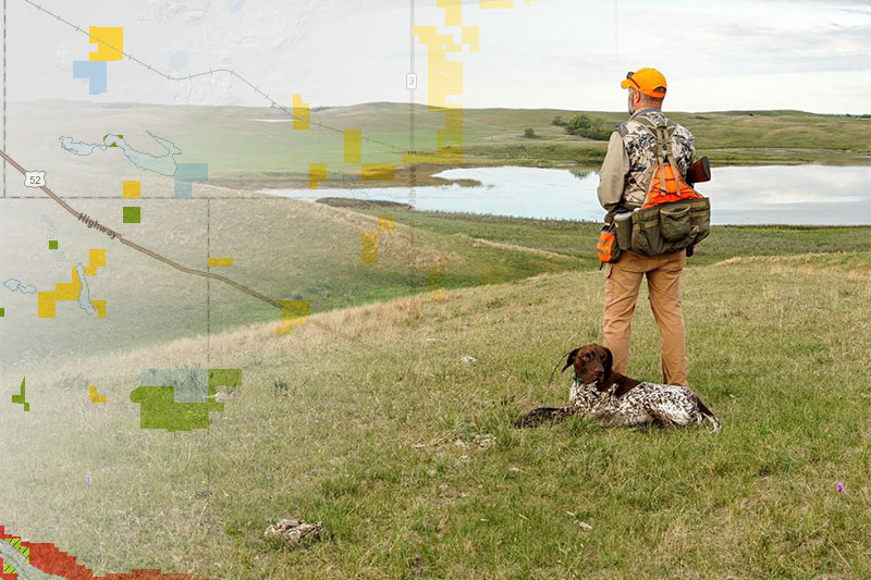
Public and private land access, hunting units, species range, etc.
Fishing and Boating Atlas
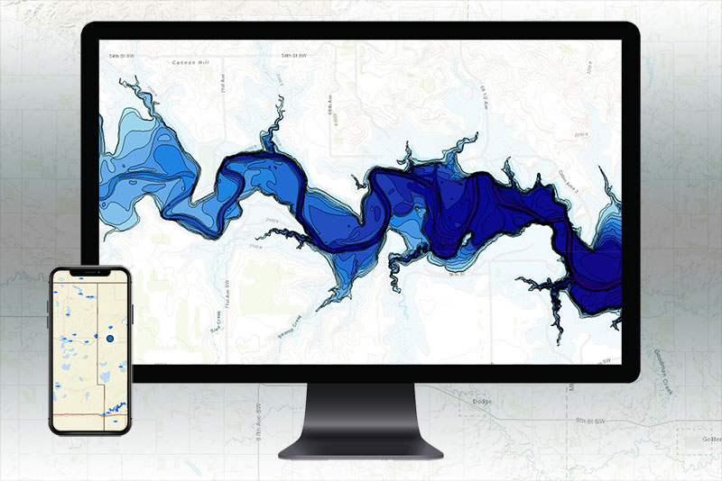
Fishing waters information, lake contours, stocking, boat access, etc.
HuntLink

Communication tool for landowners seeking hunters.
Map Resources
Map Index
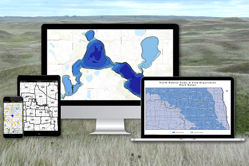
Comprehensive list of maps offered by the Department.
Mobile Apps

App options for viewing maps on a smartphone.
Web and Data Services
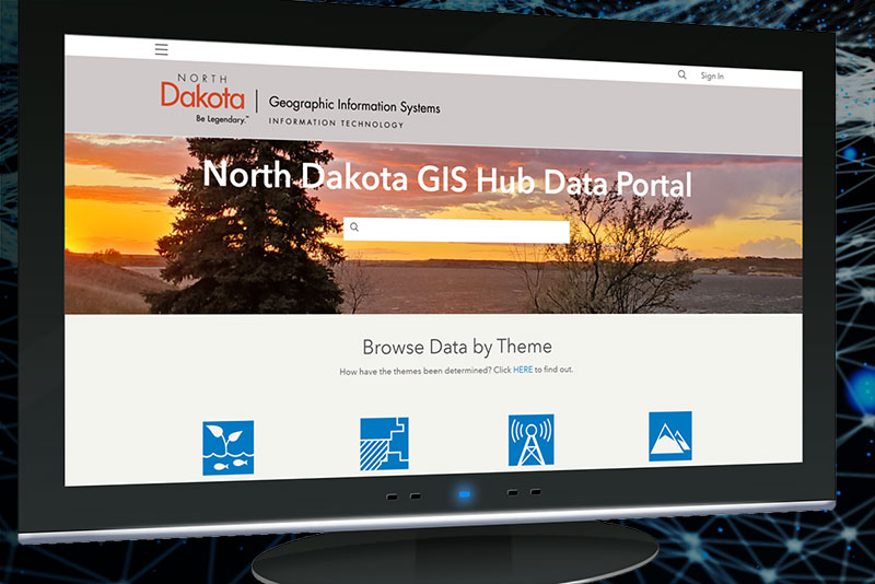
North Dakota GIS Hub Data Portal, REST services, etc.