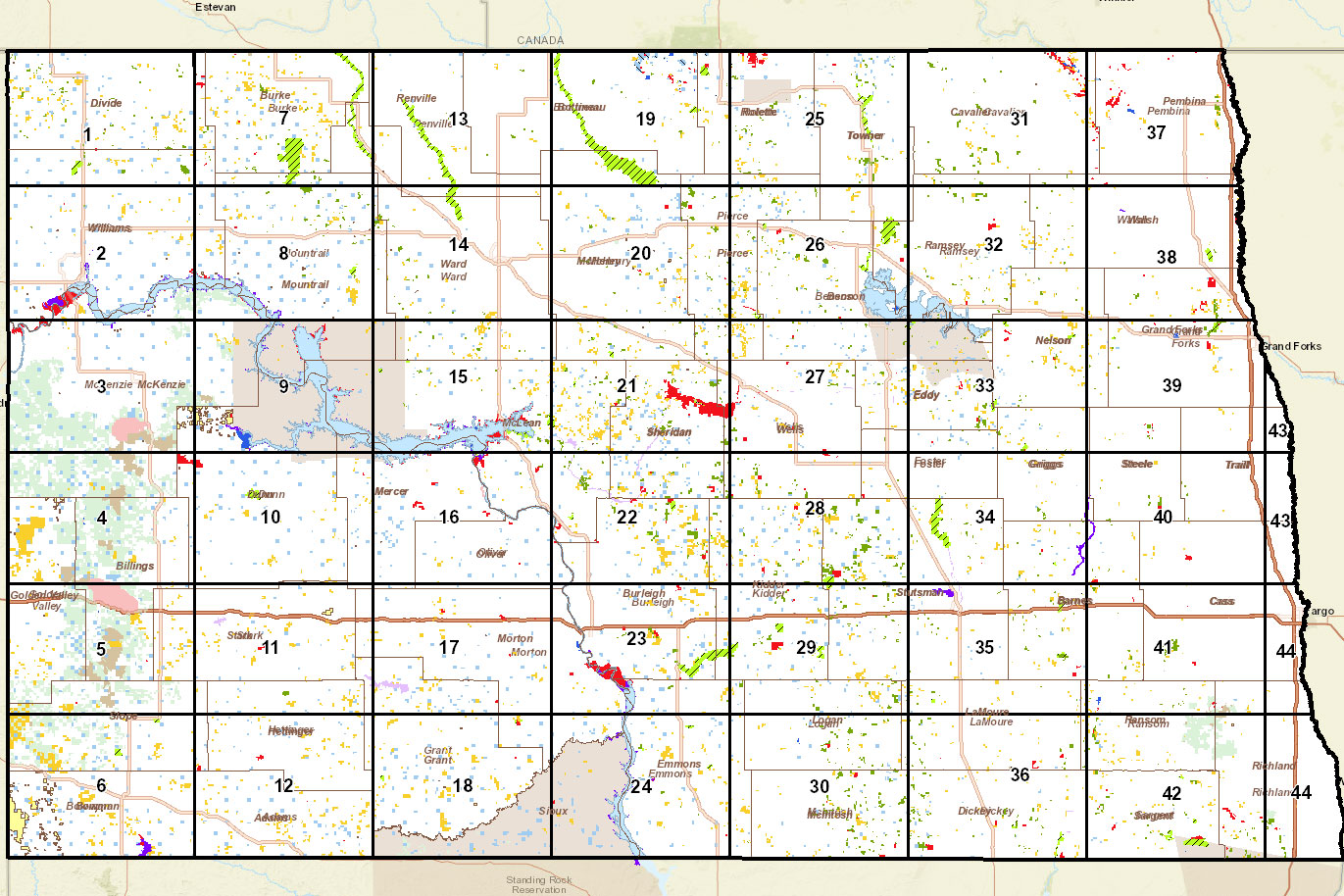
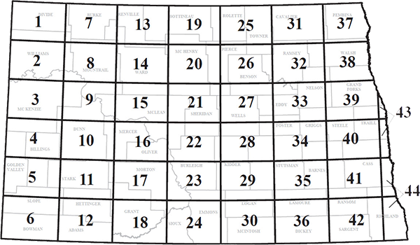
Map Sheets
(Last updated August 2023)
In addition to the pdf versions of the PLOTS map sheets, the Department offers some flexible, interactive options.
These interactive options allow users to:
- zoom into their area of interest,
- change data layers displayed (ex. add hunting units to the map),
- change the base map to display topographic information or aerial imagery,
- add waypoints, draw lines, add notes and
- print (PLOTS Guide Viewer) a customized map.
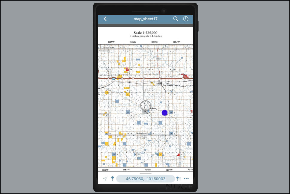
PLOTS Guide Viewer
Requires cell service to work in the field.
Avenza-Geospatial PDF App
Does not require cell service to work in the field if maps are downloaded.
ArcGIS Explorer App
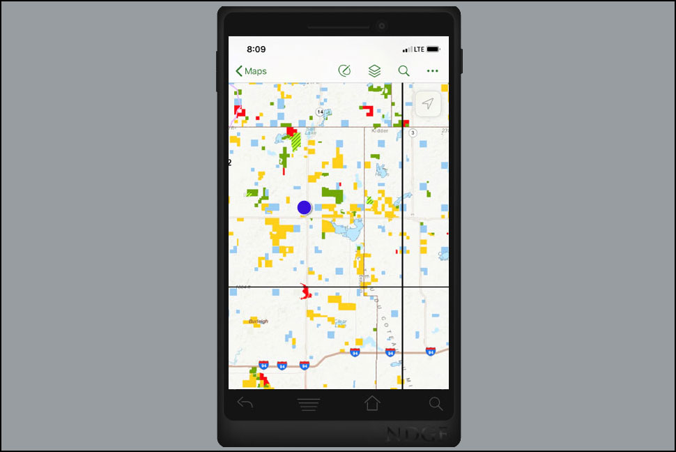
Requires cell service to work in the field.
PDF Map Sheets
The North Dakota Game and Fish Department compiled these maps according to conventional cartographic standards, using the most reliable information available. The Department does not guarantee freedom from errors or inaccuracies and disclaims any legal responsibility or liability for interpretations made from these maps, or decisions based thereon. The colors of land features may look slightly different when covered by water.