North Dakota is famous for its wide-open spaces. But Theodore Roosevelt National Park gets much of the glory (and the tourists) and even locals overlook the natural beauty in their own back yards.
After a spring of social distancing, mounting cabin fever and a barrage of stress-inducing concerns, more people are realizing what outdoor enthusiasts have always known; spending time in nature has major physical and mental health benefits. You don’t even have to do an organized activity to reap the rewards.
“If you can have some solitude in nature it really helps your perspective. It’s a way to sort out your thoughts,” said Ann Hoffert, birder and Carrington resident. “I train my mind to go there when I’m feeling frustrated or trying to change something that I don’t have control over.”
There’s plenty in the world that we can’t control. But getting outdoors seems doable. Since widespread travel projections are down, interest in the outdoors is way up, and more North Dakotans are interested in exploring close to home, finding that much-needed solitude in nature might get a little more challenging this summer.
So, skip the crowds and set off for a summer of dirt road drives and scenic byways, intriguing trails and clifftop views, forest hikes and peaceful wildlife refuges. If you’re lucky, you’ll have them all to yourself.
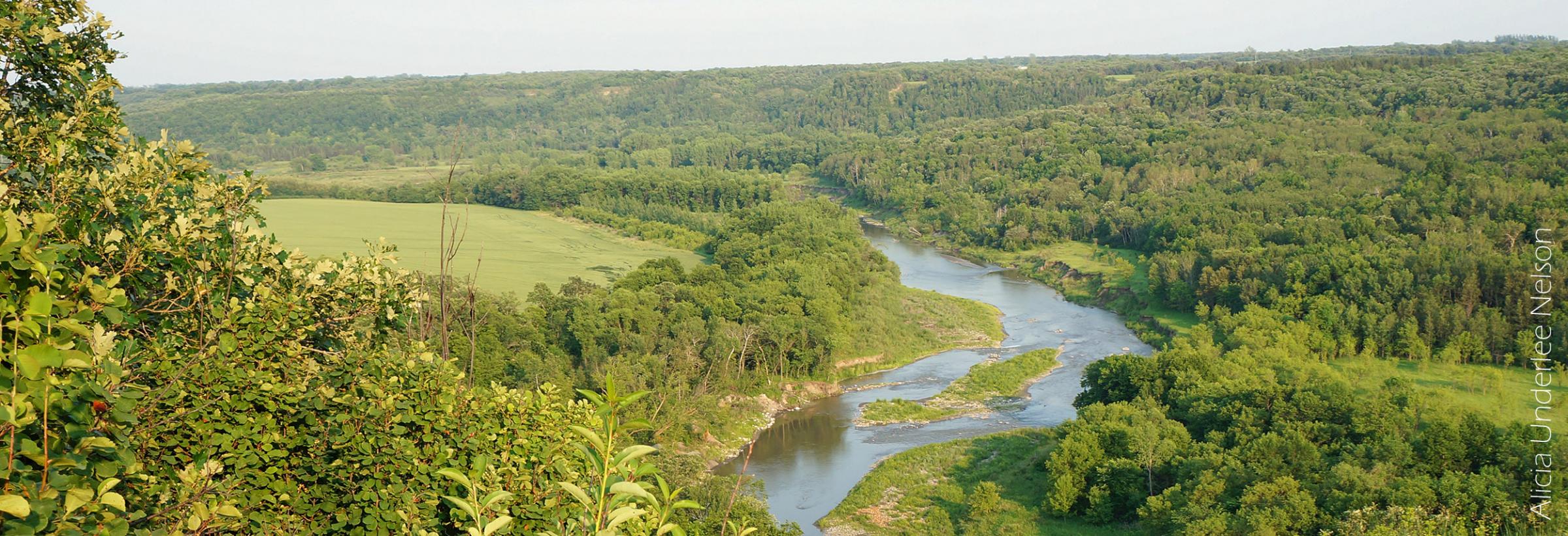
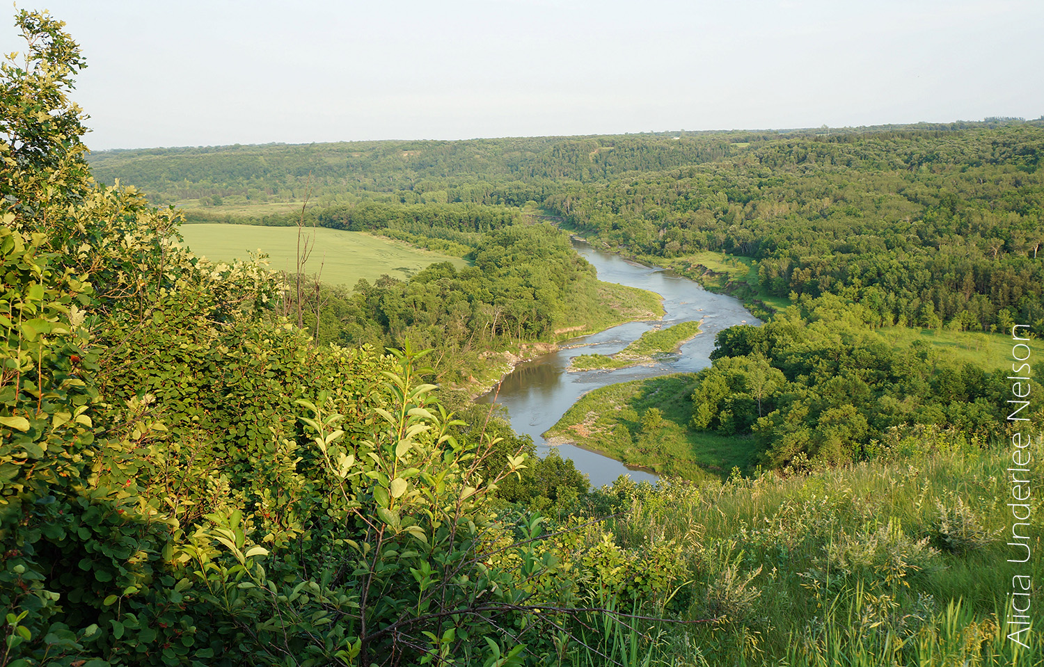
1. Pembina Gorge
Scenic views and a variety of terrain make the Pembina Gorge State Recreation Area worth a pilgrimage. Steep cliffs look out over the gently twisting Pembina River, while pockets of prairie and bustling, bird-studded wetlands stretch out into the distance.
But the forest is the real star of the show. The 2,800-acre recreation area contains North Dakota’s largest uninterrupted stretch of woodlands, which blankets the region in a dense patchwork of green before erupting into a riot of rust, persimmon and gold in autumn. Sweeping views and fall foliage draw travelers off the Rendezvous Region Scenic Backway to the Masonic Scenic Overlook, which perches 1,155 feet above sea level in Walhalla.
Hiking down from the overlook is just one way to access more than 30 miles of mixed-use trails. The trail network also accommodates mountain bikers, horseback riders and ATV, side by side and dirt bike operators. It’s a popular spot for OHV recreation, since only the Lady Slipper Trail is nonmotorized.
If the river itself is the draw, canoe and kayak access docks are located at Vang Bridge, Brickmine Bridge and Riverside Park. The Pembina Gorge State Recreation Area also offers daily and hourly kayak rentals, which include life jackets and paddles.
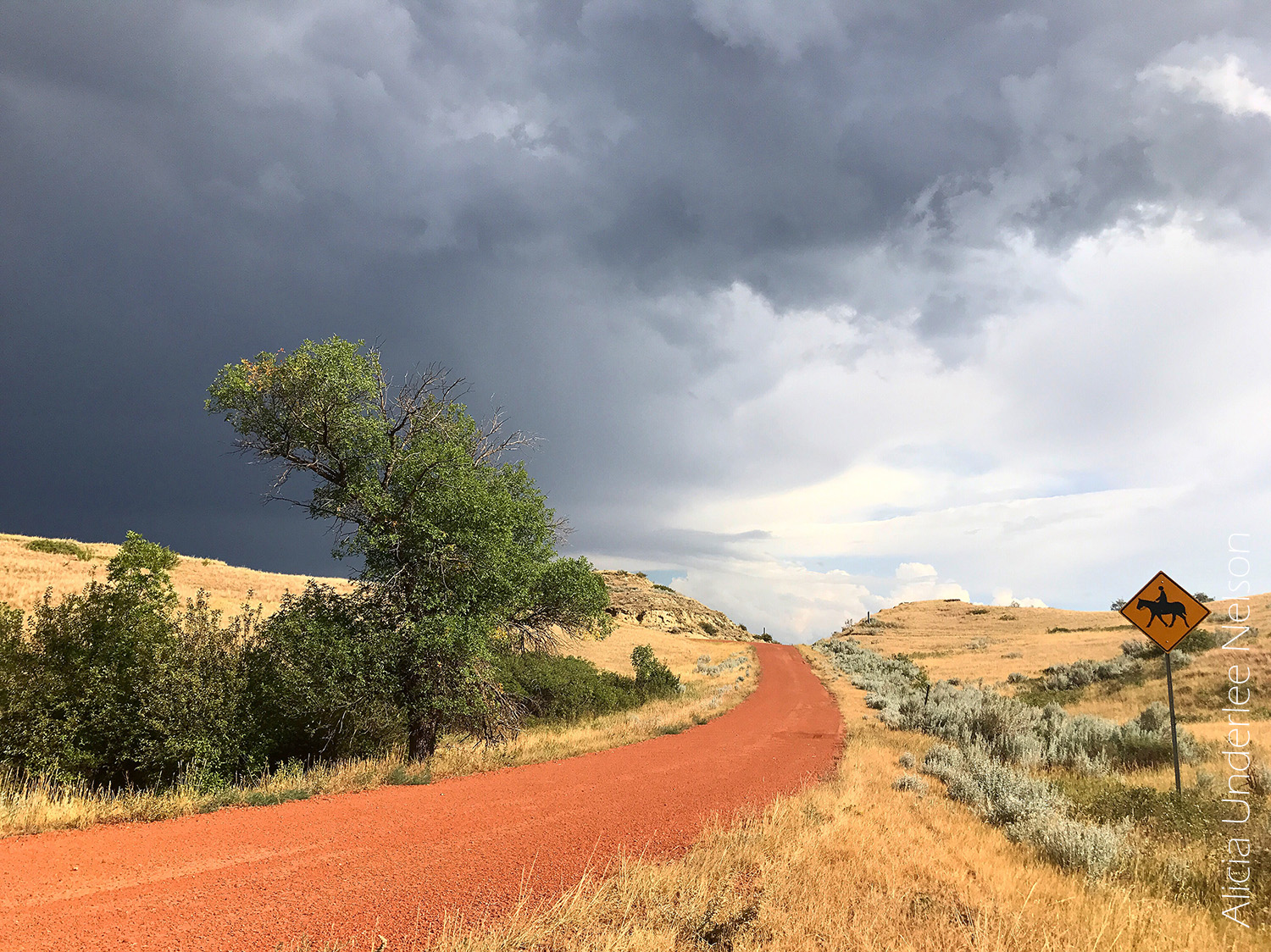
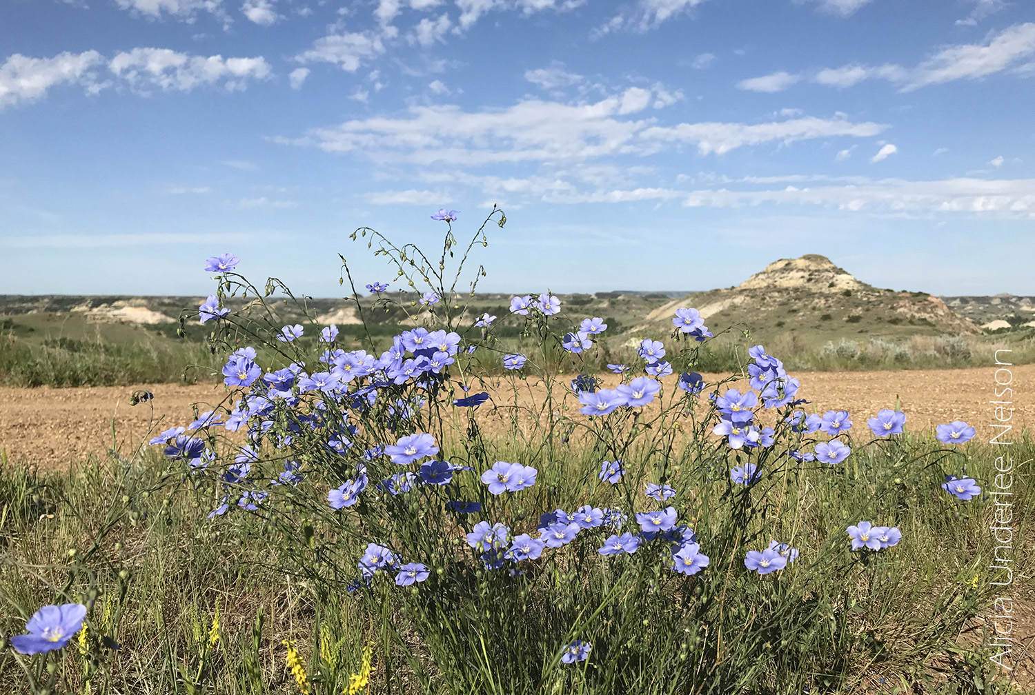
2. Little Missouri National Grassland
The contrast of the prairie grasses against the colorful badlands buttes draws droves of hikers and travelers to western North Dakota every year. The landscape feels regal, rugged and unspeakably ancient.
Most people see it by driving through Theodore Roosevelt National Park. But when coronavirus concerns closed the park this spring, Terri Thiel, executive director of Dickinson Convention and Visitors Bureau, and her colleagues began steering visitors to western North Dakota’s grasslands.
“People will ask, ‘Isn’t the park closed? And we’ll say, ‘It is, but there’s 1.5 million acres that are open to you and the majority are in the badlands, which have always been accessible,’” she said. “Sometimes people take for granted what’s in their own back yard.”
The Little Missouri National Grassland near Medora is the largest in the nation, so it accounts for most of that acreage. Hikers will find dramatic badlands bluffs rising above rolling hills, prairie plains and grazing cattle.
“Respect for the ranchers’ ‘back yard’ is to be exercised,” cautioned photographer Mary Lou Tastad, who covers western North Dakota extensively for her website, BeautifulBadlandsND.com. “Everyone should use a U.S. Forest Service map to determine which land is private, which land is public. Maps can be obtained at the U.S. Forest Service stations in Dickinson, Watford City and Bismarck.”
Thiel will also leave trail guides outside the Dickinson Convention and Visitors Bureau upon request. Maps are available online at fs.usda.gov/dpg/ as well.
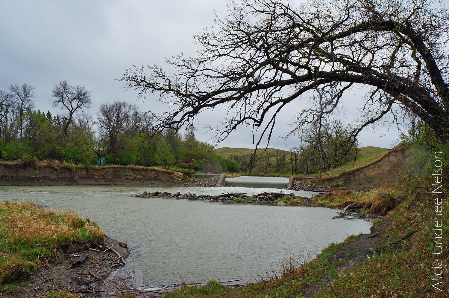
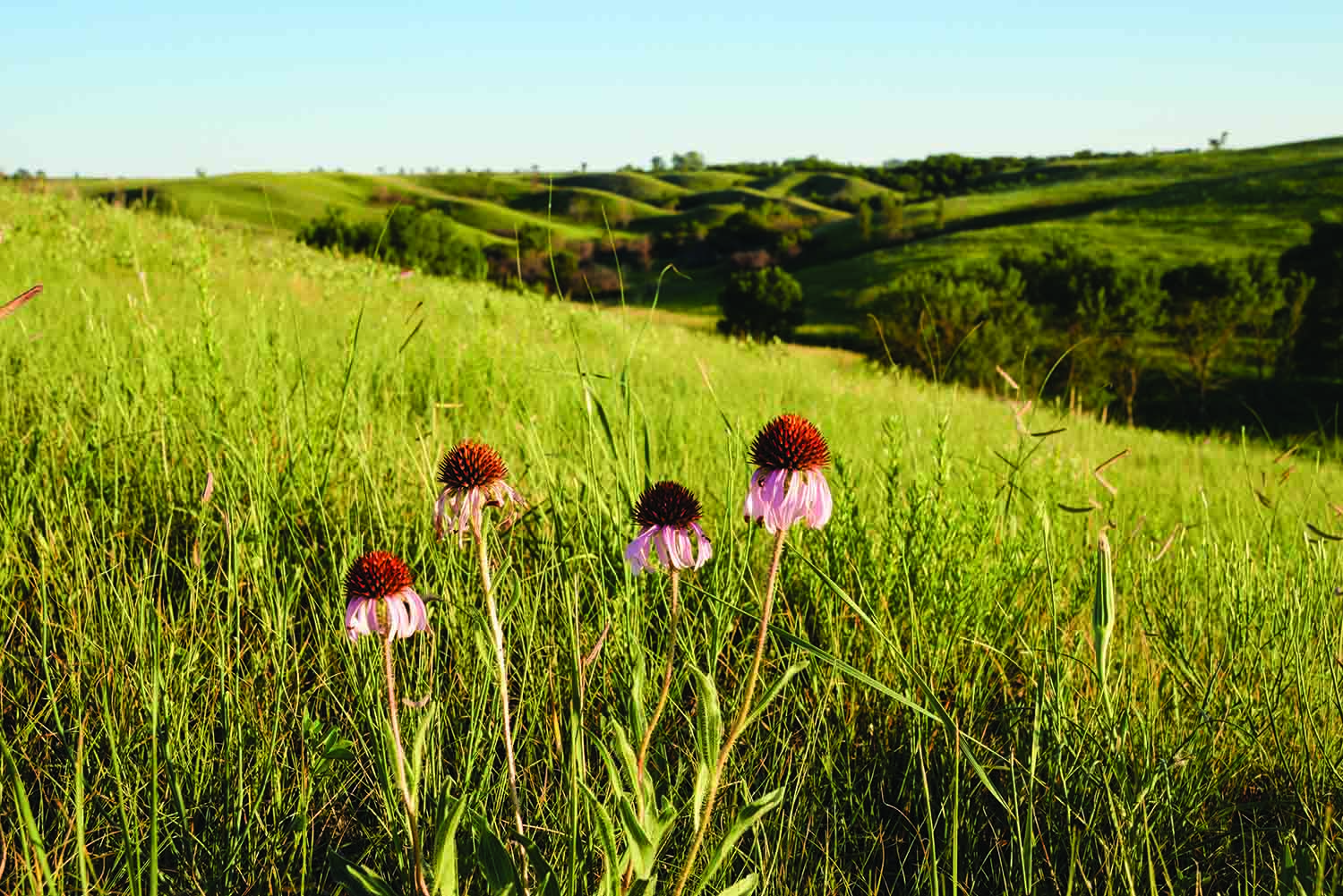
3. Sheyenne River Valley
The valley’s rolling hills and woodlands sometimes shock those who assume central North Dakota is all pancake-flat prairie land. The region has more surprises in store for curious travelers.
Cruising along the Sheyenne River Valley National Scenic Byway is a pleasant way to get the lay of the land. The route begins north of Valley City and winds 63 miles south to Lisbon, passing Native American cultural sites, historical farmsteads, charming small towns, and the wooded trails of Fort Ransom State Park along the way. Interpretive panels provide snippets of local history.
Portions of the North Country Trail (the longest trail in the country) run through Fort Ransom State Park and the Sheyenne River State Forest. A relatively easy 2.2 mile out and back trail (4.4 miles total) in the forest leads to the state’s only registered waterfall.
To find it, start in Lisbon and drive nine miles west on Highway 27. Turn right on 122nd Avenue and look for the trailhead on the left. The route connects with the Mineral Springs Trail to the waterfall.
For a great North Country Trail view, try the Sheyenne River Overlook. The trailhead is off 160th Avenue, about 5 miles south of Kindred.
“There are big sand dunes,” said Rennae Gruchalla of Fargo, an avid hiker who helps maintain sections of the North Country Trail in North Dakota. “From that point you can see tops of trees and then the Sheyenne River meandering through. It’s just beautiful. And every season, it’s different.”
4. Maah Daah Hey Trail
The views from the Maah Daah Hey Trail are jaw-dropping – think rocky plateaus, jagged cliffs and heart-pounding ridgeline trails that skirt badlands bluffs and plunge into scenic river valleys. The trail network snakes 144 miles through rolling grasslands, the confines of Theodore Roosevelt National Park and up and around craggy buttes, before crisscrossing the Little Missouri River. It’s almost inconceivable that a place this striking remains one of the state’s best-kept secrets.
A bucket list spot for cyclists, the Maah Daah Hey is one of the most beautiful (and brutal) single-track mountain biking trails on the planet. (Cycling isn’t allowed within Theodore Roosevelt National Park.) But its backcountry terrain is kinder to hikers and equestrians.
Tastad has seen more interest in the region lately. She suggests accessible places to start exploring.
“One of the more popular sections of the trail (officially the end of the Maah Daah Hey Trail) is accessed at the CCC Campground, south of the Long X Bridge, 15 miles south of Watford City on U.S Highway 85,” she said. “It’s across the Little Missouri River from the North Unit of Theodore Roosevelt National Park, so offers astounding views.”
The other end of the Maah Daah Hey Trail also offers interesting – and unexpected – sights.
“It entails a long drive through beautiful scenery to access the Burning Coal Vein Trailhead, south of Medora, northwest of Amidon,” she said. “There’s a huge Ponderosa Pine forest in the area.”
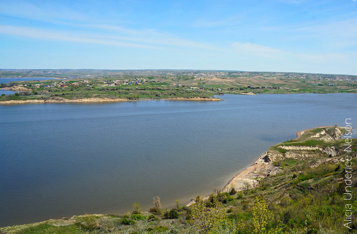
5. Crow Flies High Butte
The view from Crow Flies High Butte, 2,087 feet above sea level, is a showstopper. The badlands loom along the placid waters of Lake Sakakawea. The 4,500-foot Four Bears Bridge (the longest in North Dakota) carries travelers headed to New Town on the Fort Berthold Indian Reservation, home of the Mandan, Hidatsa and Arikara nations. But this spot isn’t just scenic – it’s also steeped in history.
The bridge honors two great chiefs – one Hidatsa, one Mandan – who were both named Four Bears. It’s decorated with 10-foot medallions that showcase the heritage of the three nations that live here.
Standing on top of the butte – a spot William Clark once used as a lookout – you can see the foundations of the underwater ghost town of Sanish when the water levels are low. From 1917 to 1956, this land was part of Verendrye National Park, named for the explorers who passed through the region (although possibly not this exact spot) in the 1700s. It now anchors one end of the Killdeer Mountain Four Bears Scenic Byway, which passes historical and cultural sites on its 64-mile route to Manning.
6. Prairie Pothole Region
Central North Dakota is the heart of the Central Flyway, one of the most important migratory bird routes in North America. The landscape is dotted with pockets of wetlands, marshes and small ponds that give the region its puddle-inspired nickname.
“The majority of birds are going to come through during the middle of May and that will go on through the second week in June,” said Hoffert. “This time of year, even city parks are going to be good to see birds. Anywhere that’s by water – a river or a pond – that’s going to be better habitat.”
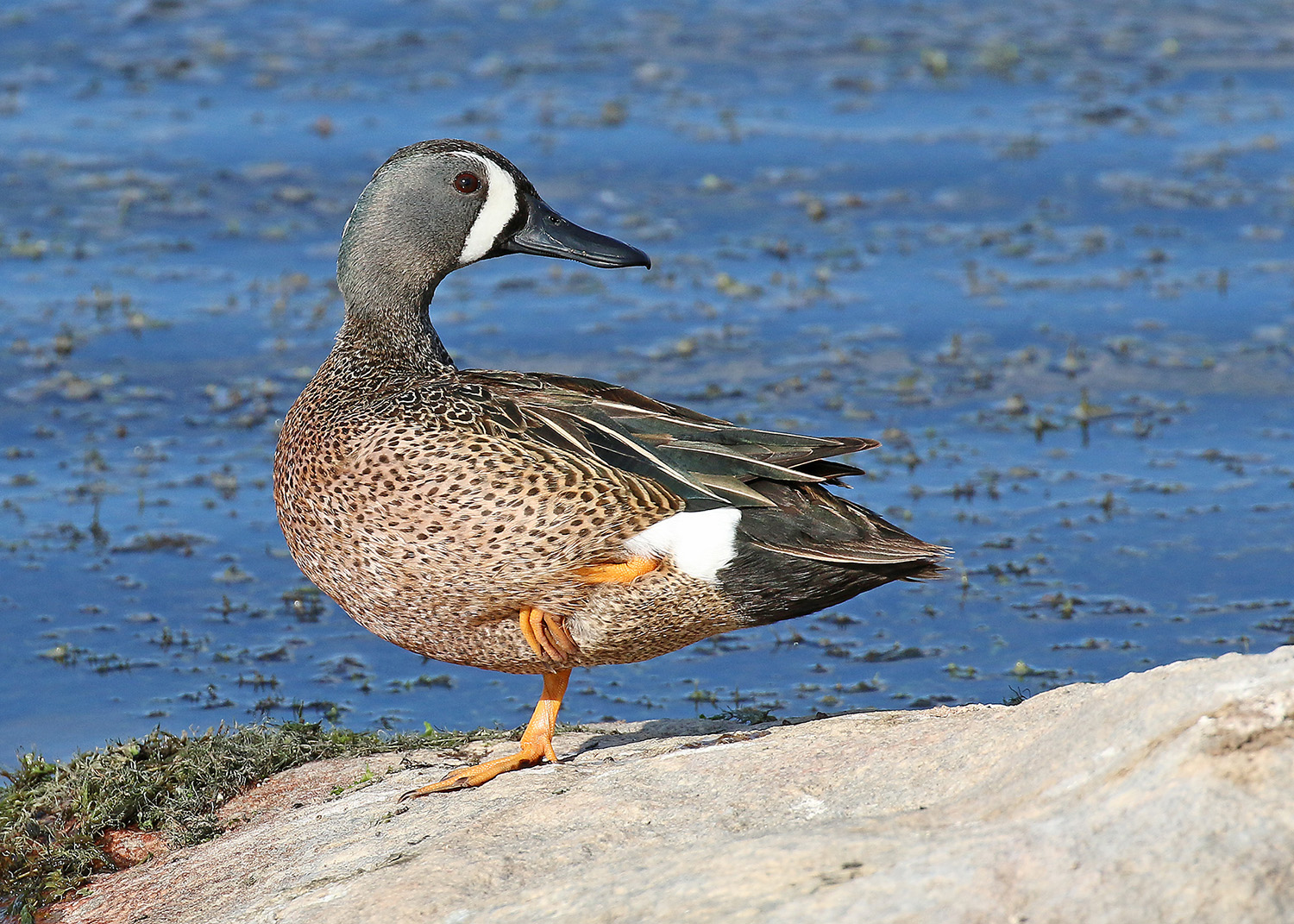
The 2,300-acre Edward M. Brigham III Alkali Lake Sanctuary near Spiritwood is a haven for shorebirds, the Western meadowlark (North Dakota’s state bird) and flocks of American white pelicans. Arrowwood National Wildlife Refuge, located along the James River near Pingree, is a popular breeding ground for waterfowl and shorebirds. It’s home to 13 different species of ducks and geese, including blue-winged teal, mallards and Canada geese.
Birding is one of the most affordable and accessible outdoor pastimes available. All you need to get started is a good pair of binoculars and a bird guide. Hoffert recommends “The Sibley Guide to Birds.”
7. Grand Forks Greenway
For an easy outdoor escape in the middle of the city, check out the Greenway in Grand Forks and East Grand Forks, Minnesota. With 2,200 acres of green space for walking, biking, skating and other outdoor recreation along the banks of the Red and Red Lake rivers, it offers plenty of room to spread out.
The 20 miles of walking and biking trails are wide and mostly flat, so the Greenway is an accessible option for those with limited mobility or endurance, as well as families with young children in tow. Although the parks, pools and disc golf courses located along the Greenway remained closed at press time, there are still lots of shady spaces for exercise, rest and picnics. It’s a good choice for visitors who are nervous about visiting more remote locations, and those who want to combine an outdoor excursion without shopping for supplies.
The Grand Forks Greenway is a popular spot for fishing, kayaking, canoeing and paddle-boarding for visitors of all abilities. An ADA-accessible floating dock north of DeMers Avenue, just off River Road, offers a dry launching place for nonmotorized watercraft and a fishing spot for anglers. Good shore-fishing spots are found up and down the riverbanks.
8. Minot Area Wildlife Refuges
Bismarck-based meteorologist and photographer Zachary Hargrove was storm chasing near Upham when he accidently wandered into J. Clark Salyer National Wildlife Refuge. But the beauty of the landscape kept drawing him back.
“It’s one of those rare places in North Dakota where there are lots of trees,” he said. “It’s very marshy, with lots of hiking and wildlife viewing opportunities.”
Two auto tours are available if you’d like to explore by car. The 5-mile Grassland Trail takes you through prairie and marsh habitat, while the 22-mile Scenic Trail navigates wetlands, forests and ravines. Deer, moose, turkey, grouse, partridge, pheasant, fox and waterfowl hunting is allowed on parts of the refuge in season.
There’s also an auto tour at the Upper Souris National Wildlife Refuge, the second of three scenic spots located a short drive from Minot. The active butterfly research site and waterfowl breeding grounds contain five hiking trails, two canoe trails and 35 miles of hills, prairie and wetlands along the Souris River.
The river and Lake Darling are full of northern pike, walleye, yellow perch and smallmouth bass, and the Outlet Fishing Area boasts an accessible fishing pier. The refuge is open for seasonal deer, partridge, pheasant and grouse hunting.
Hargrove also recommends Des Lacs National Wildlife Refuge near Kenmare. The preserve offers fishing, deer and upland hunting and wildlife viewing, and is rarely crowded, despite its soothing landscape.
“I think it’s the most underappreciated place in North Dakota,” he said. “The lake and the river are down in the middle of the valley and there are green rolling hills. It’s a pretty dramatic landscape for North Dakota.”
These are just some of the unexpected places you can see when you get off the tourist trail in North Dakota. The journey can be as rewarding as the destination.
“I’ll always start a trip with a destination in mind, but the best parts of those trips end up being the places you find in between,” said Bismarck-based meteorologist and photographer Zachary Hargrove. “There are so many hidden gems. You’ll really be amazed by what you’ll find.”
Guidelines for the New Normal
In the event of a coronavirus surge, park facilities (including restrooms), rentals and programming are usually the first to close and the last to reopen. Research the available amenities and plan accordingly.
- Bring more water than you think you’ll need. Refill opportunities may be limited.
- Research and call area restaurants if you’ll need to eat on the road, as hours and services may have changed.
- Pack extra snacks or picnic as a backup.
- Keep at least 6 feet of distance between you and other people you meet.
- Wear sunscreen, layers, insect protection and good walking shoes.
- Cell phone service can be spotty (especially out west), so head to higher elevation to get a signal.
- Charge your phone before you go and save map images to preserve your battery.
- For guidance about hunting on wildlife refuges, check with refuge headquarters for maps of areas open/closed to hunting, or visit the websites for each individual refuge.
ALICIA UNDERLEE NELSON is a freelance travel writer and photographer from West Fargo. She blogs frequently about travels within North Dakota on her website, prairiestylefile.com.