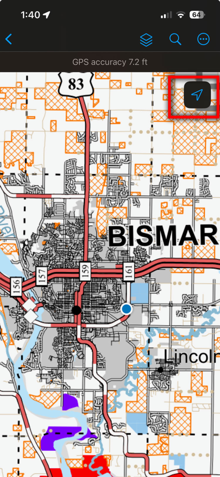
ArcGIS Field Maps
Using the NDGF PLOTS Guide Offline Within ArcGIS Field Maps
With ArcGIS Field Maps, the NDGF PLOTS map (including electronically posted lands) can be downloaded when connected to cell service then used offline in the field in conjunction with your smartphone's location services.
Limitations
- The free version of ArcGIS Field Maps limits free, anonymous users to "view-only" access to a map.
- Download the app and map while you have a strong cellular or WiFi connection. Map files are large and may take several minutes to load. Once downloaded, maps may be used offline.
- Note: If you had a previous version of ArcGIS Field Maps installed on your device, ensure that you have the latest version installed from the Apple or Google Store. The offline capability was released by Esri in March 2026 and requires version 26 or greater.
How to Use ArcGIS Field Maps
- Download the ArcGIS Field Maps app from the Apple or Google Store.
- Open the app on your device. You do not need to sign in with any account to begin viewing a map.
- At the top of the app, you should see a header called “Maps” and a search box should appear below it. If it does not, pull/swipe the default list of maps down to make the search box appear at the top.
- Search for “NDGF PLOTS” in the search box (Figure 2).
- There are some different maps available. Most hunters will need the PDF map with “EPost” in the title for viewing electronically posted lands.
- Tap download (the blue box with an arrow pointing down) to download the PDF to your device.
- Once the download has finished, the file should appear as “On Device” at the top (Figure 3).
- Tap the NDGF PLOTS Guide 2026 Epost (PDF) to open the file in Field Maps.
- Note: This is a large file that can take several minutes to open and begin displaying anything.
- The map will open to the entire State of North Dakota extent with your device location shown in a flashing blue or gray dot.
- Tap on the Location tracking/compass icon shown in a blue arrow at the top right to zoom in to your location on the map (Figure 4).
- Again, the map will most likely take a few minutes to refresh and build the cache at that scale. Using your fingers to pinch/zoom, you may want to zoom out slightly to a smaller scale (similar to the map example below).
- The map should display like the screenshot below. Notice it has the same familiar symbology from the PLOTS guide for all public lands as well as the orange, cross-hatched areas depicting electronically-posted land.
Figure 1
Download the app from the Apple App Store or Google Play Store
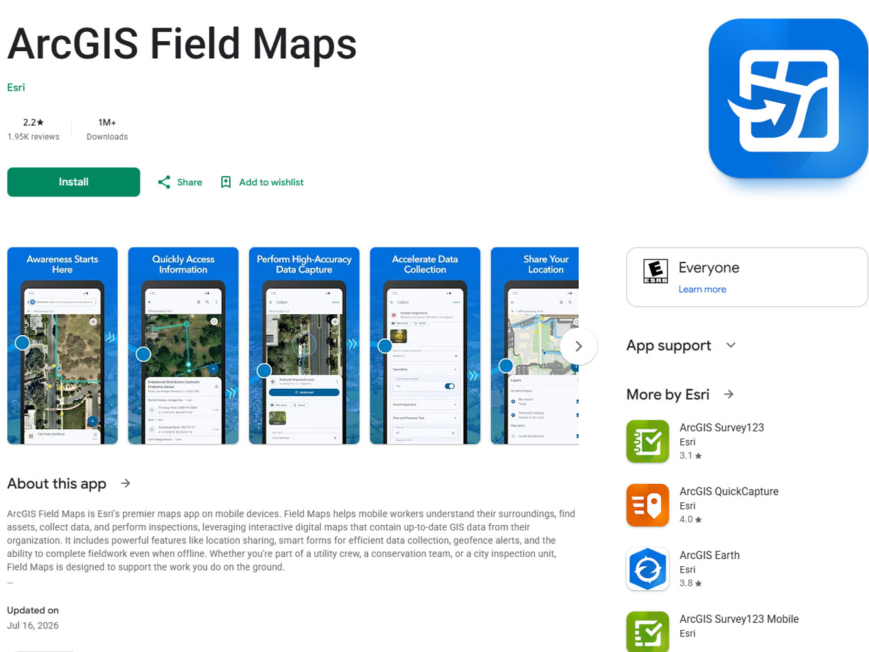
Figure 2
Search for NDGF PLOTS
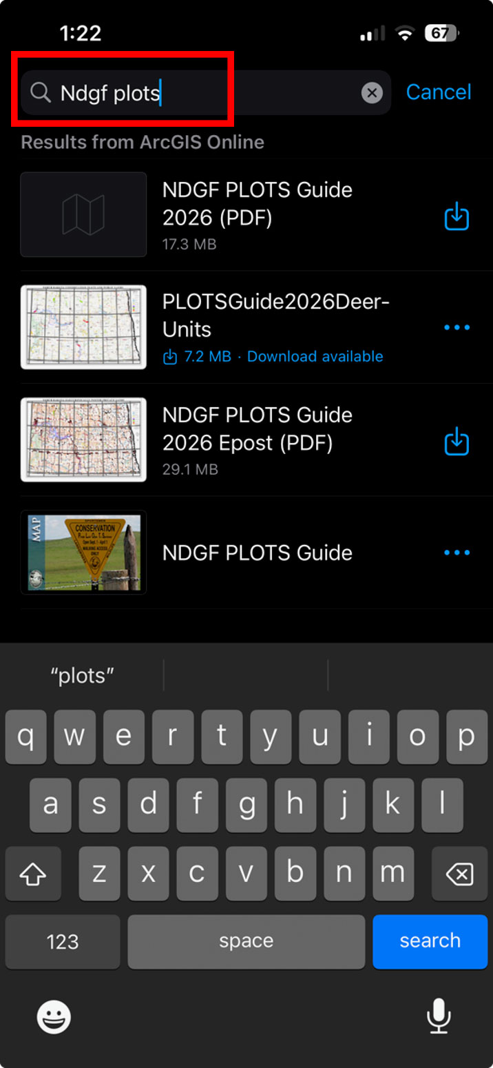
Figure 3
Download the "Epost" map
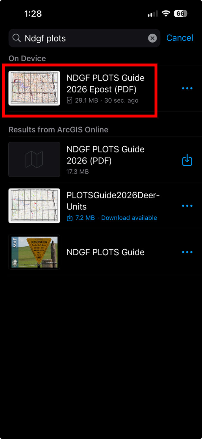
Figure 4
Tap on the blue arrow to show your location on the map