A DESKTOP APPROACH TO AVOID AND MINIMIZE DEVELOPMENT IMPACTS TO GRASSLAND HABITAT AND WILDLIFE IN NORTH DAKOTA
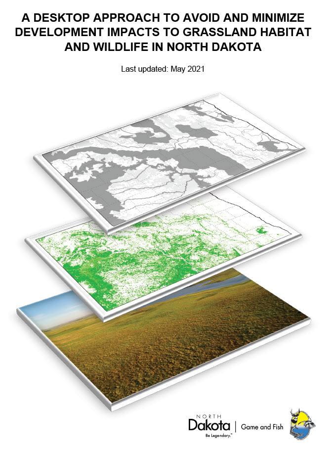
The purpose of this document is to describe three scales of desktop grassland assessment (statewide, regional, and local) that can be used to minimize impacts to this important habitat during development projects. An example is included to illustrate how various raster and vector spatial layers may be utilized to refine and on-screen digitize the extant grassland types within a select project area. This is the process and categories used by the NDGF to produce a vector dataset of unbroken, restored, and unspecified or inconclusive grassland. Furthermore, impact analyses and offset examples are included to help the user identify where residual impacts to grasslands remain after development occurs, and how to calculate voluntary offsets to replace the biological loss of affected areas.


