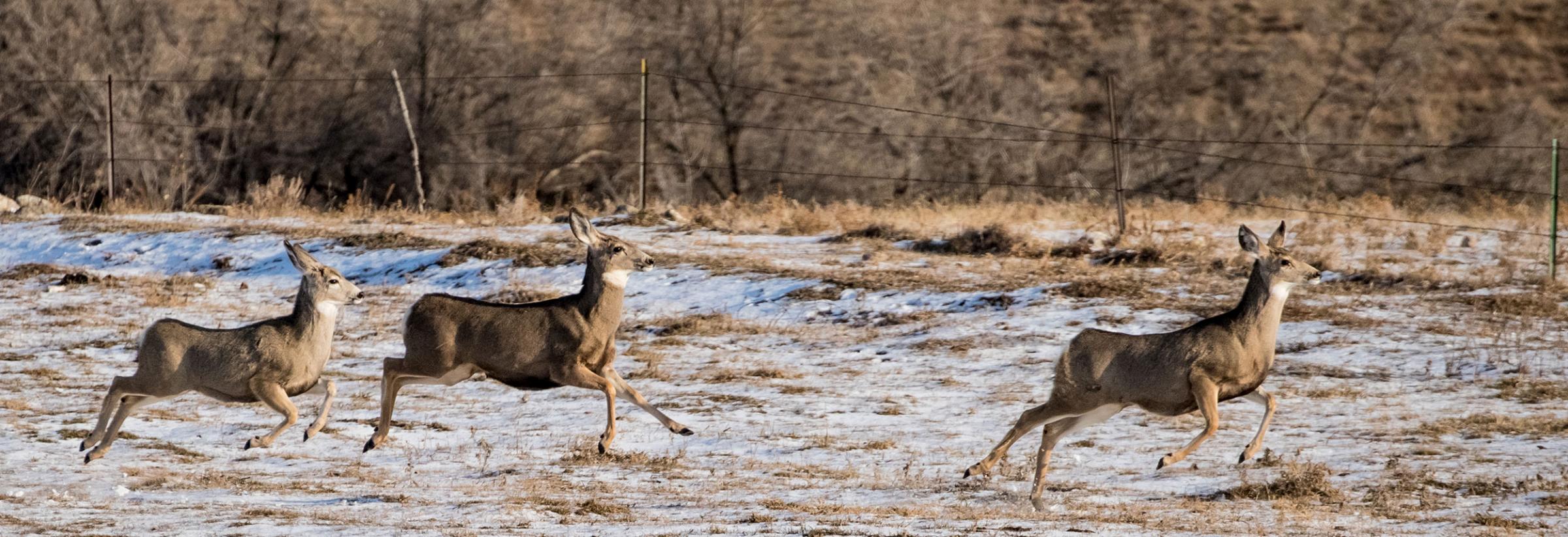
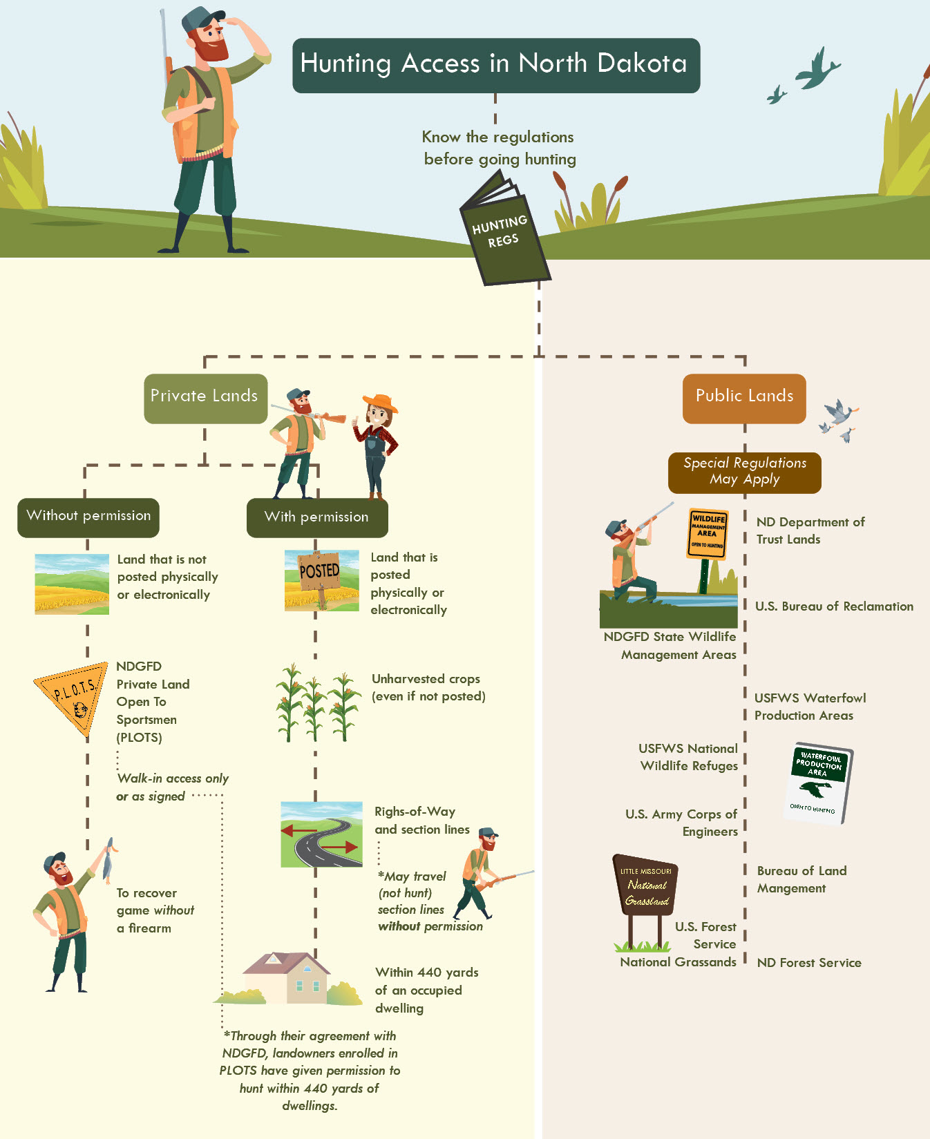
The landscape has changed for hunters in North Dakota.
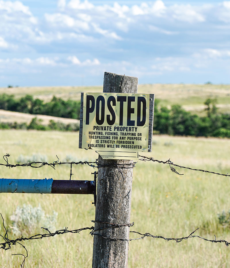
While current posting laws allow landowners to leave lands unposted or to post land with physical signs, lawmakers in 2021 passed a bill to allow electronic posting of private land, giving landowners another option for posting private property.
That law takes effect Aug. 1.
Landowners interested in posting electronically for the 2021-22 hunting season had to do so by July 15. Brian Hosek, North Dakota Game and Fish Department administrative operations manager, said about 2.5 million acres were enrolled by the deadline.
There are tools available on the Game and Fish website hunters can use to determine land that has been electronically posted. These include multiple map applications and digital PDF documents that can be saved to a device or printed for use in the field.
The map applications can be accessed by a computer or smartphone. The applications offer features to identify a point of contact, work offline or without cellular service, and the ability to create your own maps. Custom maps provide the ability to turn on other map features, such as deer hunting units and aerial imagery, or zoom into areas to see more detailed information.
Hosek said a benefit of electronic posting for hunters is that they can determine a valid point of contact when requesting access. The name of the landowner, or authorized individual who posted the land is included on the map applications.
While law requires the name of the individual who posted the land to be available to the public, hunters may also find additional contact information such as an email address, phone number and/or alternate point of contact. Hunters should note that point of contact information is not available on printed maps, but only on online applications.
There are two map applications available to find the individual who posted land electronically. The PLOTS Guide viewer and ArcGIS Explorer app will show electronically posted lands in dark orange crosshatch. Clicking on the parcel will display the individual who posted the land and may include additional contact information.
To determine posting in areas without cellular access, hunters should note there is an application available to upload the statewide PLOTS Guide map. This mobile application does not require cellular service and can work offline.
Once uploaded, this application offers the ability to view your location, lands posted electronically, plus public lands and PLOTS tracts. Another option is to use the digital PDF documents or printable maps.
To be more informed on the latest map updates for public lands, PLOTS and electronically posted lands, click on the “subscribe to news and alerts” link on the Department’s website and sign up for mapping updates. Here you will be provided messaging via email or text message as map updates become available.