Closer Look at the Blue Squares
Ron Wilson
The blue squares found on the map sheets tucked between the covers of the North Dakota Game and Fish Department’s Private Land Open To Sportsmen Guide are, for many, recognizable.
Hunters of a certain age, no matter if they’re reading U.S. Forest Service or Bureau of Land Management maps, don’t have to scan the map’s legend to know the unmistakable squares are North Dakota Department of Trust Lands. Also referred to in some circles, and maybe more commonly, as state school lands.
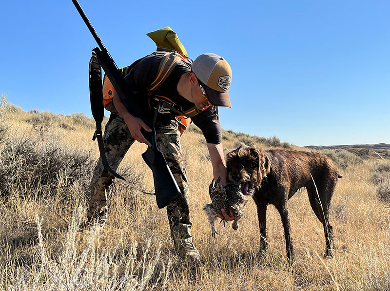
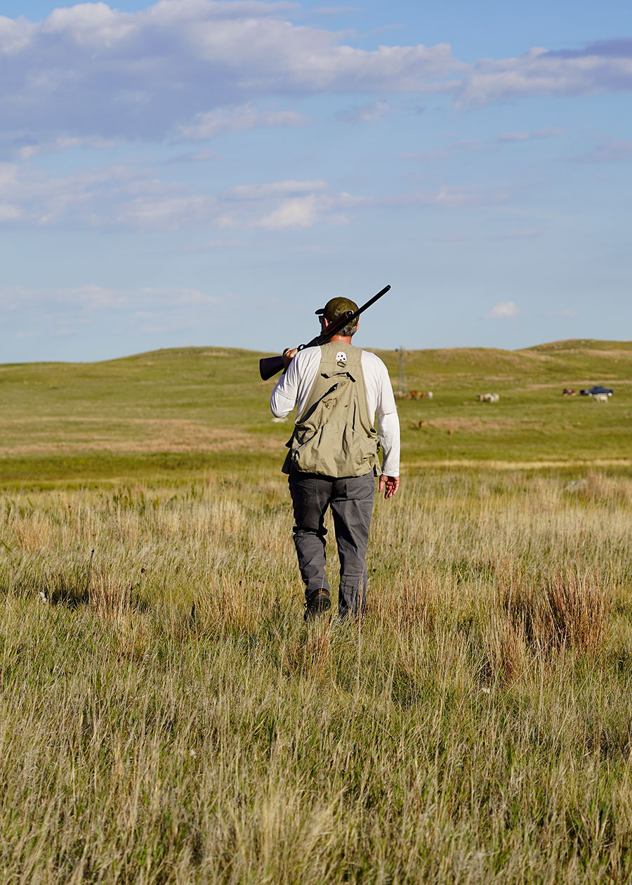
Hunters also know that the majority of these lands in North Dakota, unless otherwise noted, are open to walk-in access for hunting.
First, some history.
According to the Department of Trust Lands account, North Dakota was admitted to the Union via the Enabling Act with South Dakota, Montana and Washington in 1889.
“At statehood, North Dakota was granted about 2.6 million acres from the federal government to be used primarily to generate money for public education,” said Jacob Lardy, land management specialist with the Department of Trust Lands.
In North Dakota, the granted land included sections 16 and 36 in every township for the Common Schools Trust Fund (K-12 public education) with additional lands granted for the other trust funds stated in the North Dakota Constitution.
The Department of Trust Lands historical account continues: “As a young state with vast expanses of prairie to be homesteaded, the need for funding was daunting and the North Dakota Land Department (precursor to the NDDTL) sold off school trust land to farmers and ranchers in the early 1900s to quickly fund education costs.
“By the 1970s the Land Board realized that continued land sales would forever deplete the trusts of their land holdings. At the time, 80% of the original congressional grant had been sold, a decision was made to restrict sales to small, difficult to manage tracts and to retain the remainder.”
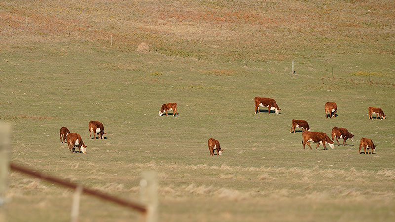
Today, Lardy said, the Department of Trust Lands manages more than 706,000 surface acres across the state that are leased for agricultural purposes, with livestock grazing being the dominate land use.
Not all public land looks the same, said Casey Anderson, North Dakota Game and Fish Department wildlife division chief, and it’s important that hunters understand that.
“Our mission, our goal on Game and Fish Department wildlife management areas is to create habitat and have a place to grow critters on the landscape that hunters can pursue,” he said. “I think people sometimes look at public land, no matter if it’s managed by the Fish and Wildlife Service, Bureau of Land Management or the Department of Trust Lands and think that it should look like one of our WMAs, but these different agencies have differing management priorities.”
These lands are dedicated to producing income for the trusts. The current public access policy has been in place since1983 and public access is only allowable if it does not conflict with the constitutional mandate to produce income for the trusts.
Lardy agreed: “Our land is out there for a specific mission and that’s to raise money for schools across North Dakota and in many instances that includes grazing. In the fall when you see our lands, they’ve been grazed throughout summer and they’ll have less grass than a WMA.”
Even so, Anderson and Lardy echo, trust lands hold their share of wildlife, from sharp-tailed grouse to deer. Hunters who target the blue squares certainly know this.
“In the early 1980s, the land board adopted the current public access policy, which means these lands are open to walk-in access only unless it says closed otherwise,” Lardy said.
Trust land lessees do have the ability to post and close trust lands if they meet certain criteria.
“The main one being if they got grazing livestock on the land. The lessee can send in an application for closed signs, saying they have cattle grazing from this date to this date,” Lardy said. “And they can close down the section, or quarter, depending on how big the pasture is for that time. And once they take the cattle off, they’re supposed to take the signs downs and let me know that they’ve done so.”
Lardy said trust land lessees can’t use the typical “No Hunting,” or “No Trespassing” signs that are common on the landscape.
“They have to be department-approved signs that will feature the name of the Trust Lands Department on the sign and the legal description,” he said. “I do run into that problem this time of year where lessees are using the wrong signs. So, I’ll call them and tell them they need to take those signs down and I’ll provide them the proper signage.”
Those lands posted “closed” to public hunting, Lardy added, are also “closed” to the lessee.
“That means the lessee can’t hunt that piece of trust land they are renting … it’s closed to everyone,” he said.
Lardy said only about 1.5% of the 706,000-plus acres of trust lands are typically closed but urges hunters to visit the Department of Trust Lands website (land.nd.gov) and do their homework before leaving home.
“We update that weekly this time of year or call in if you don’t have access to a computer and I can tell you if a piece is closed or not,” he said. “I just don’t want anyone to be surprised when they pull up and it’s closed.”
The Department of Trust Lands has another sign that’s different than simply “closed.” This “Notify the Lessee Before Entering” provides a legal description of the land and contact information for the person leasing the land.
“So, anyone who pulls up to trust land signed in this manner has to give reasonable notification by calling and the hunter and lessee can have a conversation,” Lardy said. “The hunter can say, ‘I’m going to be out here at this time with X number of people.’ And then the lessee can say, ‘OK, yeah, that sounds good.’ The intent of the sign is to set up a line of communication.”