

Grasslands
Description and Key Features
Prairie or grasslands are often classified as tallgrass, mixed-grass, and shortgrass. However, there is a broad spectrum, or combinations of grassland vegetation found across the state. Grasslands are a dynamic ecosystem, with vegetation composition, height, density and ground cover varying greatly from year to year depending on climate conditions and land use. Regardless of the visual quality or the level of invasion of nonnative or noxious species, curbing grassland destruction and fragmentation is essential to sustaining 62 SGCN and 55 SGIN grassland dependent species.
Grasslands may be native prairie or planted grassland, including pastures and rangeland, and all are frequently used for grazing livestock. The SWAP may refer to native prairie or unbroken grassland interchangeably. Definitions and attributes of unbroken grassland and restored grassland are as follows:
- Unbroken Grassland – also referred to as “native prairie,” (Figure 19). This is grassland that, according to best available spatial information, has not been converted to another land type or land cover (e.g. cropland, developed, roads). Other attributes:
- May be composed of native and/or non-native grasses and forbs.
- May be heavily invaded with nonnative species such as Kentucky bluegrass or smooth brome, but it is still considered unbroken/native prairie if there is no cultivation history.
- May be grazed or otherwise “disturbed” with animals, hayed, or burned. Managed grazing, haying and burning can be very beneficial to grasses and forbs.
- May be fenced, contain structures (e.g. old homesteads, water tanks, overhead lines), or two-track roads (i.e. with grass between the tire ruts).
- May contain shrubs (e.g. buffaloberry, chokecherry, silverberry bush), woody draws, or woody encroachment.
- May contain natural wetlands or created (e.g. stock dams).
- May be any size or configuration.
- Restored Grassland – planted or reconstructed grassland (Figure 20). This typically occurs on previously cultivated land (broken prairie that was then used for crop production for several years). The most common type of restored grassland is federal Conservation Reserve Program (CRP), but other natural resource agencies operate grassland restoration programs. Other attributes:
- May be planted with native or non-native grass and/or forb species.
- May be grazed or otherwise “disturbed” with animals, hayed, or burned.
- May contain tree rows.
- May contain natural wetlands or created (e.g. stock dams).
- Enrolled land in restoration programs may remain in a grassland state after the contract has expired.

Tallgrass Prairie (Red River Valley)
The tallgrass prairie once predominantly covered the eastern quarter of North Dakota. The Red River of the North marks the boundary between North Dakota and Minnesota, and today, this area is commonly known as the Red River Valley. Around 10,000 years ago, the region was submerged under a vast glacial lake called Lake Agassiz. The flat terrain and fertile soil left behind by Lake Agassiz make the area ideal for intensive agriculture, producing crops like potatoes, beans, sugar beets, corn, and wheat. By the 20th century, much of the tallgrass prairie had been transformed into farmland, leaving only small patches of native vegetation.
Some of these remnants of natural areas are connected to Lake Agassiz's ancient landscape. Diagonal ridges of sand and gravel formed along the shoreline of the lake, which are still visible today through aerial and satellite imagery. These beach ridges are part of the focus area known as Sand Deltas and Beach Ridges, which also include large fan-shaped sand deltas deposited by the lake. Highly saline areas, where high salt concentrations make farming unsuitable, have remained largely intact. The largest such area lies just west of Grand Forks and is known as the Saline Area or the Grand Forks County Prairie. Compared to the mixed-grass prairie further west, the Red River Valley has fewer wetlands. The landscape is dominated by farmland with woodlot and shelterbelt plantings, although advancements in farming practices have resulted in the removal of many shelterbelts. Several streams, vital to native fish populations, flow across the Red River Valley from west to east and eventually drain into the Red River.

Eastern Mixed-Grass Prairie (Drift Prairie)
The Eastern mixed-grass prairie, also known as the Drift Prairie, serves as a transition zone between the wetter tallgrass prairie to the east and the drier shortgrass prairie to the west. Before settlement, the Drift Prairie had a high concentration of temporary and seasonal wetlands. Wetlands embedded in cropland are often farmed during dry years. Prominent geographic features within this region include the Pembina Hills, Turtle Mountains, and Devils Lake hills, which are included in the forest landscape. A significant area of untilled land, largely due to sandy, gravelly soil from a glacial lake delta, is found in and around McHenry County and south of the Turtle Mountains. Known as the Glacial Lake Deltas focus area, this region retains much of its native vegetation and wetlands. In recent years, irrigation has enabled previously unsuitable areas to be farmed, with crops such as potatoes now growing in these areas. The Souris River riparian zone divides the Glacial Lake Deltas. Another important focus area is the Devils Lake Basin, formed by glacial ice blockage. This area is characterized by a high concentration of larger wetlands or lakes and slightly less grassland than the Glacial Lake Deltas. It is a critical habitat for migrating waterfowl, waterbirds, and shorebirds. The Drift Prairie is relatively flat and has largely been converted to cropland, producing spring wheat, durum, other small grains, canola, corn, beans, sunflowers, and alfalfa. The Sheyenne and James rivers also wind through this region.

Mixed-Grass Prairie (Missouri Coteau)
The Missouri Coteau forms the western edge of glaciation in North Dakota, characterized by its distinctive hummocky, rolling hills that rise 150 to 500 feet above the Drift Prairie. The region is rich in wetlands, with approximately 800,000 basin acres, and alkaline lakes are more common here. Streams and rivers are scarce but intermittent streams occur in low areas. The northern part of the Coteau contains tracts of aspen parkland, though upland deciduous forests are largely absent. A significant portion of native prairie still exists in this region, and livestock grazing is common. Areas with gentler slopes, particularly along the western edge, have been converted to cropland, producing small grains, sunflowers, corn, and alfalfa hay. The Missouri Coteau is renowned for supporting some of the highest densities of breeding ducks in North America. The large amount of remaining or restored grassland and wetlands makes this area critical for numerous species of wildlife, and designation as the focus area Missouri Coteau.

Western Mixed-Grass/Short-grass Prairie (Missouri Slope)
The Western mixed-grass prairie and short-grass prairie is semiarid, unglaciated with level to rolling plains and occasional sandstone buttes or badlands formations. Natural wetland basins are limited, but small creeks and streams are plentiful. Some consider the Missouri River System/Breaks either part of or a boundary between the Missouri Coteau and Missouri Slope, but herein it’s included in the Rivers, Streams and Riparian landscape. Shrub-steppe, an open landscape of sagebrush and perennial grasses, is found in the western one-third of the state, in and around the Badlands. Big sagebrush is found only in the extreme southwest corner of the state, within the Sagebrush Steppe focus area. Land use is primarily dryland farming of crops like spring and winter wheat, barley, sunflowers, corn, and cattle production. A substantial amount of native vegetation remains in the Missouri Slope.

Restored Grassland (Statewide)
Restored grassland is former cropland that has been converted back to grassland by replanting with tame or native grasses and forbs. One of the leading programs for restoring grasslands is the Conservation Reserve Program (CRP). Established in the 1985 Farm Bill, this program allowed producers to conserve marginal soils by retiring cropland for contracts of typically 10-15 years. The program provides income for producers and creates valuable wildlife habitat while conserving soil and water. In 2007, there were 3.38 million acres enrolled in CRP in North Dakota. By 2022, CRP enrollment had declined 63% to 1.24 million acres. There are, however, many other grassland restoration initiatives that have been established by various state, federal, and conservation organizations. Restored grasslands are also common on public lands throughout the state, including NDGF wildlife management areas and USFWS waterfowl production areas and refuges.
Grassland Classification Relationships
- The Midwest Landscape Initiative developed Voluntary Lexicon and Best Practice Recommendations for Midwest State Wildlife Action Plans (May 2024). In line with recommendation 2.1, the following Macrogroup and Group classifications from the United States National Vegetation Classification System (USNVC) pertain to grassland habitat in North Dakota.
- Macrogroup: M054 Central Lowlands Tallgrass Prairie https://www1.usgs.gov/csas/nvcs/unitDetails/860688
- Group: G075 Northern Tallgrass Prairie https://www1.usgs.gov/csas/nvcs/unitDetails/849293
- Macrogroup: M051 Great Plains Mixedgrass & Fescue Prairie https://www1.usgs.gov/csas/nvcs/unitDetails/860481
- Group: G141 Northern Great Plains Mesic Mixedgrass Prairie https://www1.usgs.gov/csas/nvcs/unitDetails/856963
- Group: G331 Northern Great Plains Dry Mixedgrass Prairie https://www1.usgs.gov/csas/nvcs/unitDetails/856981
- Group 332: Northern Great Plains Rough Fescue Prairie https://www1.usgs.gov/csas/nvcs/unitDetails/856995
- Macrogroup: M052 Great Plains Sand Grassland & Shrubland https://www1.usgs.gov/csas/nvcs/unitDetails/860480
- Group: G889 Northern Great Plains Sand Grassland https://www1.usgs.gov/csas/nvcs/unitDetails/1127110
- Macrogroup: M054 Central Lowlands Tallgrass Prairie https://www1.usgs.gov/csas/nvcs/unitDetails/860688
- Major Land Resource Areas (MLRA, Figure 18) form the basis for organizing and operating conservation programs, particularly USDA Natural Resources Conservation Service (NRCS) programs. NRCS Ecological Sites are defined by MLRAs and provide a consistent framework for classifying and describing rangeland and forestland soils and vegetation; thereby delineating land units that share similar capabilities to respond to management activities or disturbance. Below are the grassland habitat types that correspond to the MLRAs.
| Grassland Region MLRA | MLRA |
|---|---|
| Tallgrass Prairie (Red River Valley) | 56 Glacial Lake Agassiz |
| Eastern Mixed-grass Prairie (Drift Prairie) | 53A Northern Dark Brown Glaciated Plains |
| 55A Northern Black Glaciated Plains | |
| 55B Central Black Glaciated Plains | |
| 102A Rolling Till Prairie | |
| Mixed-grass Prairie (Missouri Coteau) | 53B Central Dark Brown Glaciated Plains |
| Western Mixed-Grass/Short-grass Prairie (Missouri Slope) | 54 Rolling Soft Shale Plain |
| 58D Northern Rolling Hills Plains, Eastern Part | |
| 60B Pierre Shale Plains, Northern Part | |
| 63A Northern Rolling Pierre Shale Plains |
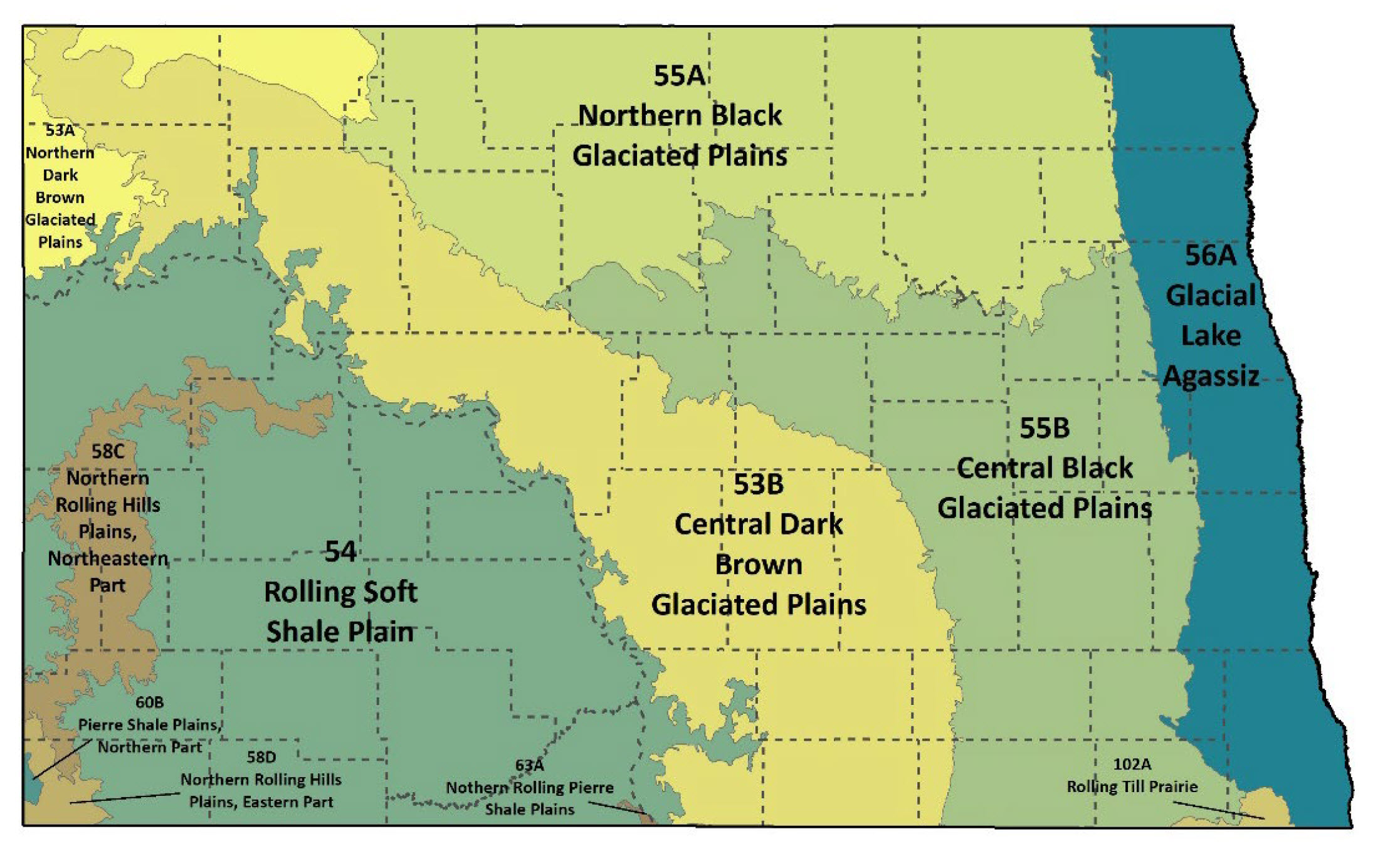
Figure 18. Major Land Resource Areas.
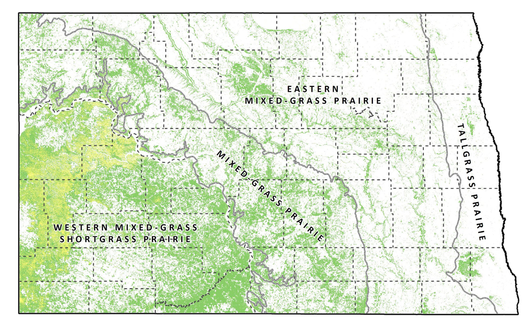
Figure 19. Estimated current extent of unbroken grassland (green) and unbroken grassland/shrubland (yellow) and major grassland ecoregions.
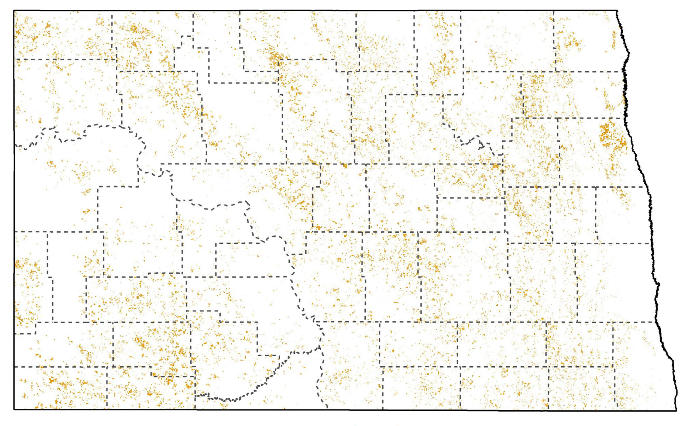
Figure 20. Estimated current extent of intact restored grassland (orange).
Associated Species
Note: Species listed here include SWAP SGCN and game species.
| Species Image | Species | Taxon | Subtaxon or Group |
|---|---|---|---|
|
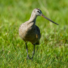
Long-billed Curlew | Birds | Shorebird |
|
Marbled Godwit | Birds | Shorebird |
|
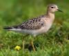
Buff-breasted Sandpiper | Birds | Shorebird |

|
Upland Sandpiper | Birds | Shorebird |

|
Willet | Birds | Shorebird |
|
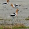
American Avocet | Birds | Shorebird |
|
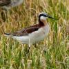
Wilson’s Phalarope | Birds | Shorebird |
|
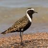
American Golden-Plover | Birds | Shorebird |
|
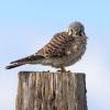
American Kestrel | Birds | Landbird |
|
Baird’s Sparrow | Birds | Landbird |
|
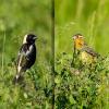
Bobolink | Birds | Landbird |
|
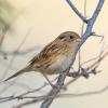
Nelson’s Sparrow | Birds | Landbird |
|
Brewer’s Sparrow | Birds | Landbird |
|
Northern Harrier | Birds | Landbird |
|
Chestnut-collared Longspur | Birds | Landbird |
|
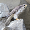
Prairie Falcon | Birds | Landbird |
|
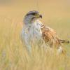
Ferruginous Hawk | Birds | Landbird |
|
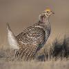
Sharp-tailed Grouse | Birds | Landbird |
|
Golden Eagle | Birds | Landbird |
|
Short-eared Owl | Birds | Landbird |
|
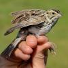
Grasshopper Sparrow | Birds | Landbird |

|
Sprague’s Pipit | Birds | Landbird |
|
Greater Prairie-Chicken | Birds | Landbird |

|
Thick-billed Longspur | Birds | Landbird |
|
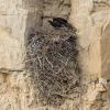
Burrowing Owl | Birds | Landbird |
|
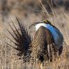
Greater Sage-Grouse | Birds | Landbird |
|
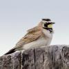
Horned Lark | Birds | Landbird |
|
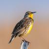
Western Meadowlark | Birds | Landbird |
|
Lark Bunting | Birds | Landbird |
|
LeConte’s Sparrow | Birds | Landbird |
|
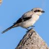
Loggerhead Shrike | Birds | Landbird |
|
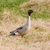
Northern Pintail | Birds | Waterfowl |
|
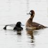
Lesser Scaup | Birds | Waterfowl |
|
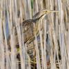
American Bittern | Birds | Waterbird |

|
Swift Fox | Mammals | Carnivore |
|
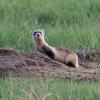
Black-footed Ferret | Mammals | Carnivore |

|
Eastern Spotted Skunk | Mammals | Carnivore |

|
Gray Fox | Mammals | Carnivore |
|
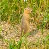
Richardson’s Ground Squirrel | Mammals | Rodent |
|
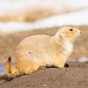
Black-tailed Prairie Dog | Mammals | Rodent |
|
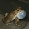
American Toad | Amphibians | Toad |

|
Northern Prairie Skink | Reptiles | Lizard |
|
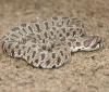
Plains Hog-nosed Snake | Reptiles | Snake |
|
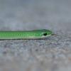
Smooth Green Snake | Reptiles | Snake |

|
Whitney’s Underwing | Terrestrial Invertebrates | Moth |

|
Abbreviated Underwing | Terrestrial Invertebrates | Moth |

|
Hera Sheepmoth | Terrestrial Invertebrates | Moth |

|
Ainslie’s Cuckoo Nomad Bee | Terrestrial Invertebrates | Solitary Bee |

|
Ottoe Skipper | Terrestrial Invertebrates | Skipper |

|
Poweshiek Skipperling | Terrestrial Invertebrates | Skipper |