
Fire Danger Index
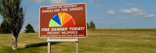
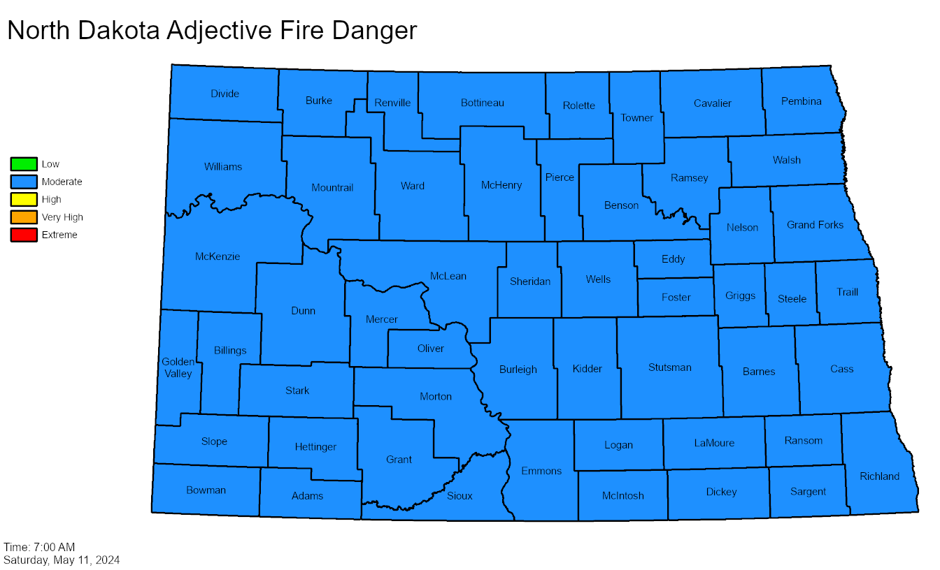
The fire danger index provides an indication of wildland fire potential. Fire danger indexes are calculated considering temperature, humidity, wind speed, cloud cover and vegetative condition, and are rated as Low, Medium, High, Very High or Extreme.
Fires are more likely to occur on higher index days.
Certain outdoor activities may be prohibited when a fire danger index is considered Very High or Extreme.
Outdoor recreationists are asked to be aware of current fire danger indexes. Updated information is available through ndresponse.gov, or from a county sheriff’s office.
Other Resources
- Wildland Fire Assessment System (U.S. Fish and Wildlife Services)
- Fire Danger Guide (North Dakota Department of Emergency Services)
- U.S. Drought Monitor - High Plains
- Fire and Smoke Map (U.S. Air Quality Index)
- Air Quality Index Map (NOAA)

This map is a product of NDDES.
