

Rivers, Streams and Riparian
Description and Key Features
This landscape component includes all rivers, streams, and their associated riparian areas spread across North Dakota (Figure 23).
Rivers and streams are linear, flowing bodies of water that often feature alternating slower pools and fastermoving riffles and runs.
These habitats can differ significantly in size, shape, flow speed, gradient, turbidity, nutrient levels, substrate composition, and more.
Seasonal changes impact flow, with spring typically being the wettest time of year, and some smaller streams may even dry up completely during the summer, making them ephemeral.
"Big Rivers," operate quite differently from smaller river habitats, supporting distinct faunal communities not typically found in smaller bodies of water.
These rivers are more influenced by regional rainfall and runoff than by local conditions.
Their flow is generally swift and steady year-round, with fewer seasonal variations compared to smaller rivers and streams.
Due to their faster currents, big rivers tend to be more turbid, as sediments remain suspended in the water longer.
This also causes frequent shifts in the channel bottom as sand, gravel, and silt are continually moved and redeposited.
In the Midwest, the Missouri and Mississippi Rivers are classified as Big Rivers, while other river habitats are categorized as rivers and streams.
A riparian zone is the area between a body of water and the adjacent upland, characterized by unique soil conditions and vegetation that requires abundant water.
This zone includes wetlands and portions of the floodplain that support riparian plant life.
Typically, it consists of trees, shrubs, and understory vegetation such as various grasses and forbs, though some areas may naturally lack trees.
In eastern North Dakota, riparian zones are dominated by green ash and elm trees, while cottonwoods are more common in the western part of the state.
Though riparian zones cover a relatively small area, they are crucial habitats for numerous wildlife species and play a vital role in maintaining stream health.
River floodplains and riparian habitats form narrow corridors of unique ecosystems.
Overgrazing by cattle in some regions has degraded riparian habitats, contributing to reduced water quality, including impairments from fecal coliform bacteria and Escherichia coli.
Development, particularly increased housing along the Missouri River, has disturbed some wildlife species and destroyed riparian habitats.
Additionally, many small low-head dams have obstructed fish movement.
While larger dams, such as the Garrison Dam, have brought numerous benefits, they have also disrupted natural processes like cottonwood regeneration and fish migration.
According to North Dakota’s 2020-2022 Integrated Water Quality Report (NDDEQ 2023), 39% of rivers and streams are classified as fully supporting but threatened for aquatic life use, 29% are fully supporting aquatic life, and 32% are not supporting aquatic life use.
Non-point source pollution, such as siltation/sedimentation and stream habitat loss, is a leading cause of aquatic life impairment. Dissolved oxygen depletion, caused by organic enrichment, and nuisance algae and plant growth due to excessive nutrient loading are also significant concerns.
Rivers, Streams and Riparian Classification Relationships
- The Midwest Landscape Initiative developed Voluntary Lexicon and Best Practice Recommendations for Midwest State Wildlife Action Plans (May 2024). In line with recommendation 2.1, the following Macrogroup and Group classifications from the United States National Vegetation Classification System (USNVC) pertain to rivers, streams and riparian habitat in North Dakota.
- Macrogroup: M029 Central Hardwood Floodplain Forest https://www1.usgs.gov/csas/nvcs/unitDetails/838650
- Group: G652 Midwest Floodplain Forest https://www1.usgs.gov/csas/nvcs/unitDetails/877317
- Macrogroup: M028 Great Plains Flooded & Swamp Forest https://www1.usgs.gov/csas/nvcs/unitDetails/860485
- Group: G147 Great Plains Cottonwood – Green Ash Floodplain Forest https://www1.usgs.gov/csas/nvcs/unitDetails/856756
- Macrogroup: M029 Central Hardwood Floodplain Forest https://www1.usgs.gov/csas/nvcs/unitDetails/838650
Rivers, Streams and Riparian Map
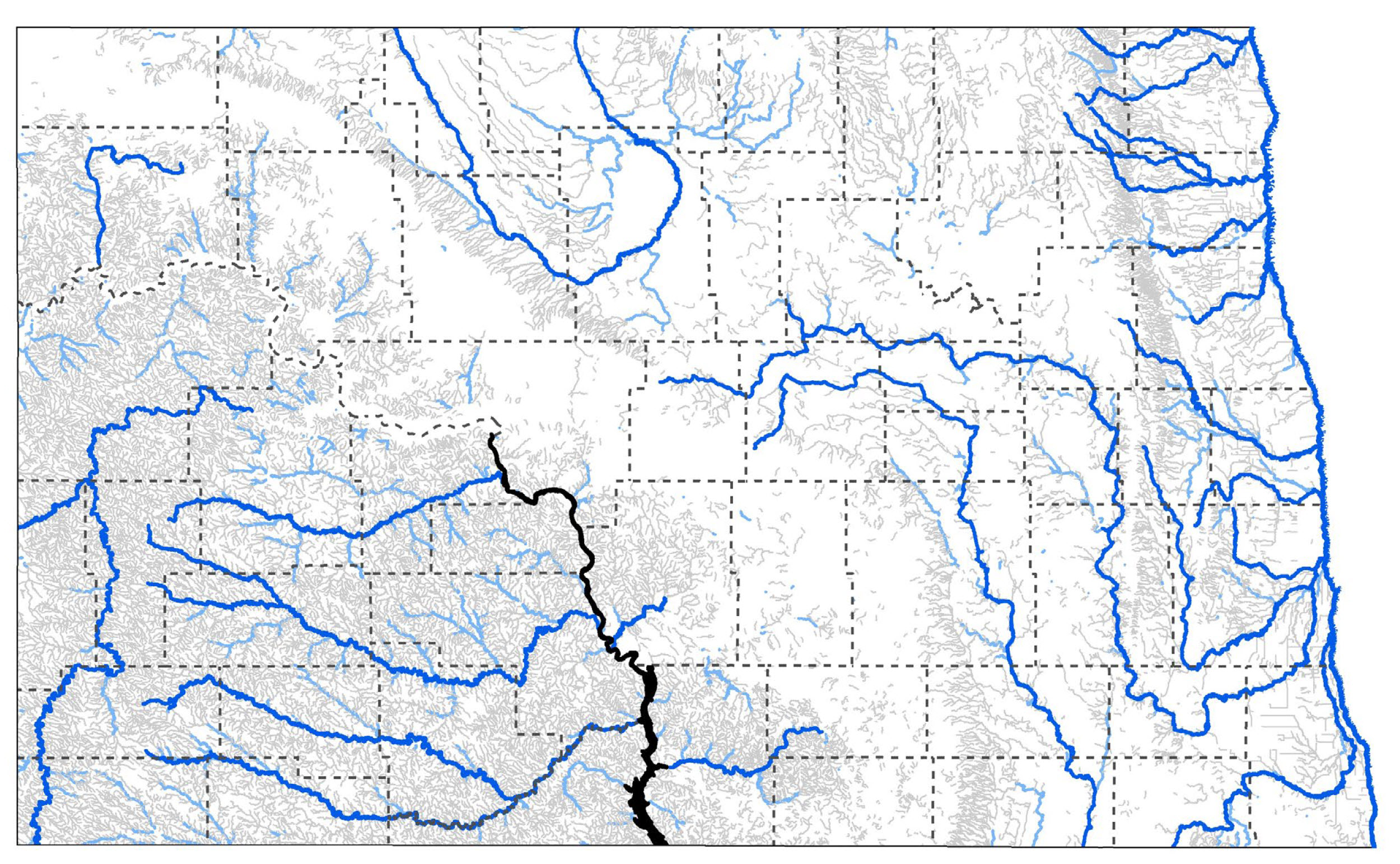
Figure 23. Intermittent streams (gray), perennial rivers (light blue; thicker and darker blue line indicate focus areas), and big rivers (black, Missouri River and Lake Oahe).
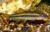
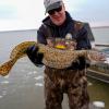
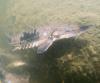
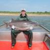
Rivers, Streams and Riparian Images
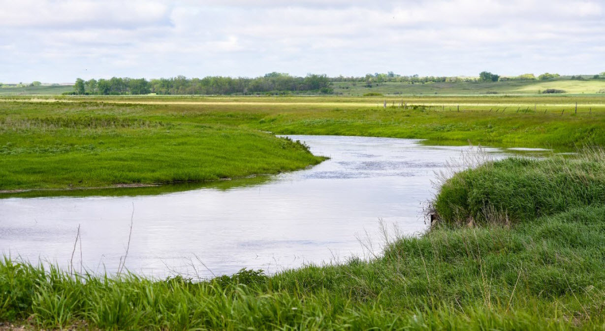
Sheyenne River
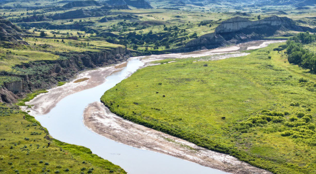
Little Missouri River
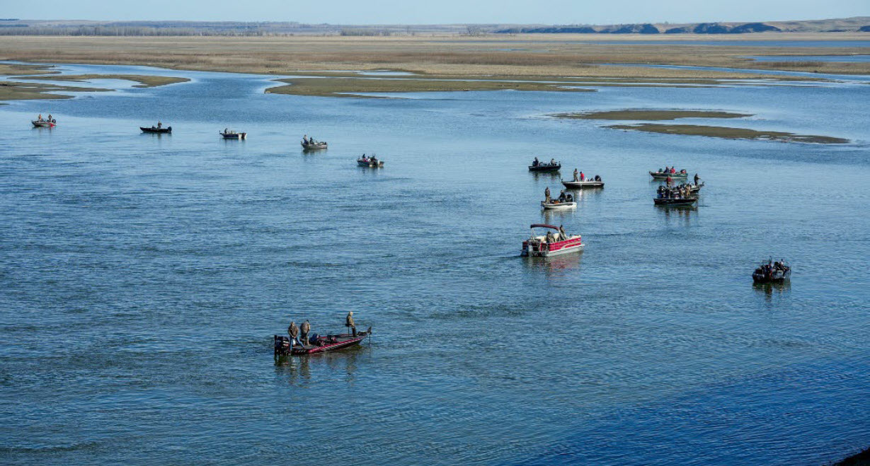
Missouri River/Lake Oahe - Big River
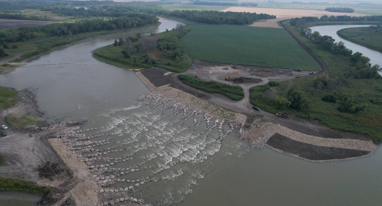
Red River - Drayton Dam modification
Associated Species
Note: Species listed here include SWAP SGCN and game species.
| Species Image | Species | Taxon | Subtaxon or Group |
|---|---|---|---|
|
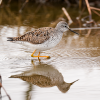
Lesser Yellowlegs | Birds | Shorebird |
|
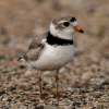
Piping Plover | Birds | Shorebird |
|
Black-billed Cuckoo | Birds | Landbird |
|
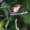
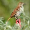
Brown Thrasher | Birds | Landbird |
|
Golden Eagle | Birds | Landbird |
|
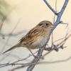
Harris’s Sparrow | Birds | Landbird |
|
LeConte’s Sparrow | Birds | Landbird |
|
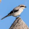
Loggerhead Shrike | Birds | Landbird |
|
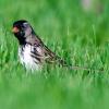
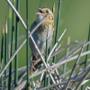
Nelson’s Sparrow | Birds | Landbird |
|
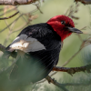
Red-headed Woodpecker | Birds | Landbird |
|
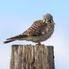
American Kestrel | Birds | Landbird |
|
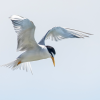
Least Tern (Interior) | Birds | Waterbird |
|
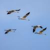
Whooping Crane | Birds | Waterbird |
|
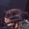
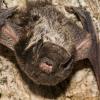
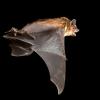
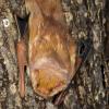
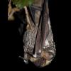
Little Brown Bat | Mammals | Bat |
|
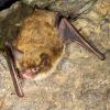
Northern Long-eared Bat | Mammals | Bat |
|
Silver-haired Bat | Mammals | Bat |
|
Big Brown Bat | Mammals | Bat |
|
Eastern Red Bat | Mammals | Bat |
|
Hoary Bat | Mammals | Bat |

|
Gray Fox | Mammals | Carnivore |
|
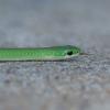
Smooth Green Snake | Reptiles | Snake |
|
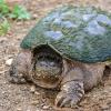
Snapping Turtle | Reptiles | Turtle |
|
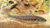
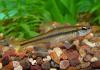
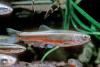
Pugnose Shiner | Fishes | Minnow |
|
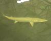
Sturgeon Chub | Fishes | Minnow |
|
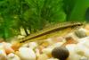
Trout-perch | Fishes | Minnow |
|
Blacknose Shiner | Fishes | Minnow |

|
Blue Sucker | Fishes | Minnow |

|
Carmine Shiner | Fishes | Minnow |
|
Finescale Dace | Fishes | Minnow |
|
Flathead Chub | Fishes | Minnow |
|
Hornyhead Chub | Fishes | Minnow |

|
Northern Pearl Dace | Fishes | Minnow |

|
Northern Redbelly Dace | Fishes | Minnow |
|
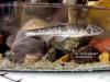
Burbot | Fishes | Codfish |
|
Lake Sturgeon | Fishes | Sturgeon |
|
Paddlefish | Fishes | Sturgeon |
|
Pallid Sturgeon | Fishes | Sturgeon |

|
Broad-Winged Skipper | Terrestrial Invertebrates | Skipper |

|
Hobomok Skipper | Terrestrial Invertebrates | Skipper |

|
Ghost Tiger Beetle | Terrestrial Invertebrates | Tiger Beetle |

|
Yellow-banded Bumble Bee | Terrestrial Invertebrates | Bumble Bee |

|
Monarch Butterfly | Terrestrial Invertebrates | Butterfly |

|
Mulberry Wing | Terrestrial Invertebrates | Butterfly |
|
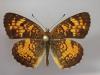
Tawny Crescent | Terrestrial Invertebrates | Butterfly |

|
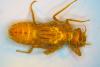
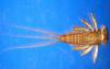
A Mayfly - Lachlania saskatchewanensis | Terrestrial Invertebrates | Mayfly |
|
Plains Emerald | Terrestrial Invertebrates | Dragonfly |

|
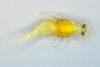
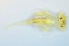
A mayfly - Apobaetis lakota | Aquatic Invertebrates | Mayfly |
|
A Mayfly - Cercobrachys cree | Aquatic Invertebrates | Mayfly |
|
Deepwater Mayfly | Aquatic Invertebrates | Mayfly |
|
Prong-Gilled Mayfly | Aquatic Invertebrates | Mayfly |