
Habitat and Community Types
Primary Habitat and Community Types in North Dakota

Overview
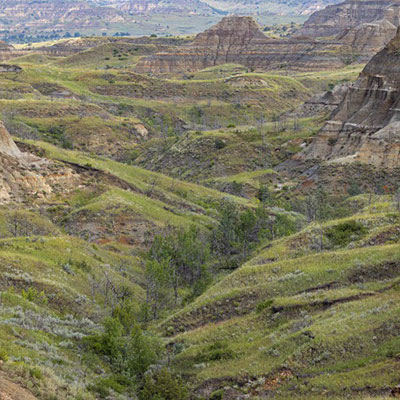
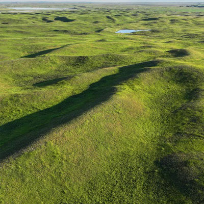
North Dakota lies within the Great Plains temperate grassland biome.
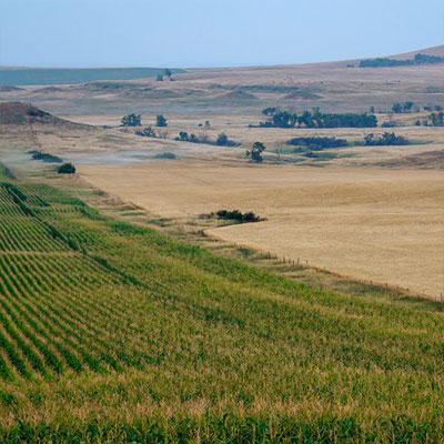
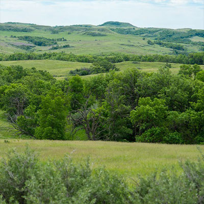
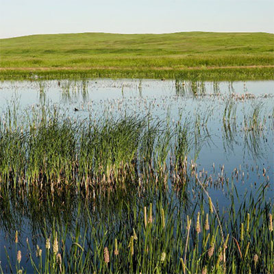
The natural landscape was predominantly tallgrass, mixed-grass and shortgrass prairies and abundant, diverse freshwater wetlands.
Over the past 150+ years, the prairie landscape has changed dramatically.
It is estimated that more than 70 percent of the native prairie and 60% of the wetlands have been converted to other land uses, primarily annual crops, but also to roads and development.
Abundant tree shelterbelts were planted to help reduce erosion and protect farmsteads.
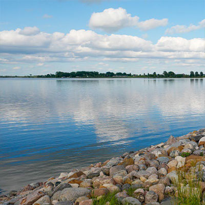
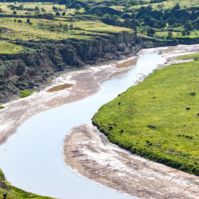
Several large reservoirs were constructed including Lake Sakakawea, which altered the natural flooding cycle of the Missouri River, North Dakota’s largest riparian system.
Roads, urbanization, and energy development are steadily increasing and expanding across North Dakota.
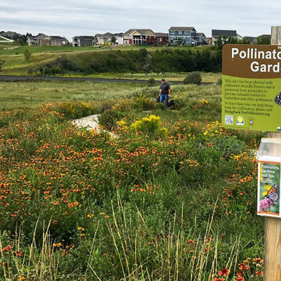
There is, however, great potential to protect, conserve, and enhance habitat.
Figure 16 provides a breakdown of the major land classes present in North Dakota today.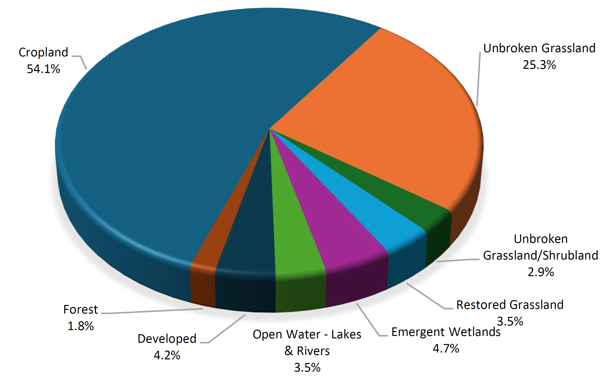
Percentage of North Dakota by land class: Cropland - 54.1%, Unbroken Grassland - 25.3%, Unbroken Grassland/Shrubland - 2.9%, Restored Grassland - 3.5%, Emergent Wetlands - 4.7%, Open Water (Lakes and Rivers) - 3.5%, Developed - 4.2%, Forest - 1.8%.
Approximately 24.5 million acres of cropland (annually farmed land, includes alfalfa but excludes practices such as CRP), 11.47 million acres of unbroken grassland (native prairie), 1.3 million acres of unbroken grassland/shrubland (shrub-steppe, western ND primarily), 1.6 million acres of restored grassland, 2.15 million acres of emergent wetlands, 1.58 million acres of open water (lakes and rivers), 815 thousand acres of forest, and 1.89 million acres of developed (urban, transportation, industrial, etc.).
Many species require a variety of habitat types throughout their life cycle. To ensure their long-term survival, it's essential to maintain a diverse landscape, including grasslands, wetlands, forest, rivers, streams, and cropland. This approach goes beyond preserving a few small areas and calls for a broader, landscape-level perspective. Although cropland covers much of North Dakota today, it was not historically part of the Great Plains' natural habitat. However, agriculture plays an important role in North Dakota's past, present, and future, providing benefits like nesting cover, migration stopovers, and winter food sources.
Adopting a habitat or landscape approach in conservation planning offers several benefits, including the ability to:
- Link species of greatest conservation need to key landscapes or habitats, sometimes within specific geographic areas or across multiple landscapes or ecoregions.
- Assess the relative condition of the landscape, providing insight into its current health and ecological status.
- Highlight priority conservation issues (direct threats) affecting the landscape, enabling targeted action.
- Determine necessary conservation actions and identify potential partners who are already involved in, or could contribute to, addressing these issues.
- Identify research or survey needs to gather information required to confirm conservation problems and necessary actions.
- Provide data on ideal habitat and landscape characteristics for specific areas, helping to define landscape goals to strive toward.
- Understand the impact of management practices on species within the area, as these practices can have varying effects depending on geographic context (see species accounts for more details).
This approach enhances the ability to address conservation needs at a broader, landscape level, ensuring that management actions are more effective and aligned with ecological realities.
Approximately 92% of North Dakota is privately owned, creating significant opportunities to collaborate with private landowners to conserve fish and wildlife resources. North Dakota farms and ranches are made up of cropland, rangeland, hayland, and other features like wetlands, wooded areas, and grassed waterways. The extent and quality of these elements will significantly impact the success of the SWAP and other conservation efforts aimed at preserving fish and wildlife species in the state. Many landowners have partnered with state, federal and conservation organizations to implement conservation practices.
Compared to other western states, North Dakota has limited public land. Of the state's 45.2 million acres, roughly 3.6 million acres are owned in fee title by state (just under 1 million acres) and federal (~2.66 million acres) land management agencies (Figure 17). Most public land is subject to multiple-use regulations, where fish and wildlife habitat is not the primary focus. However, many of these agencies collaborate with private producers to help manage the land. For instance, the Department leases certain wildlife management areas for grazing, haying, and food plots, while the U.S. Forest Service manages land for multiple purposes, including water, forage, wildlife, recreation, and industries like oil and gas. Although some public lands are vulnerable to conversion into cropland, much of it, such as the ND Department of Trust Lands, remains native vegetation. There is potential for working cooperatively with state and federal landholders to adjust management practices to benefit SGCNs and demonstrate the effectiveness of conservation tools to enhance wildlife habitat and populations.
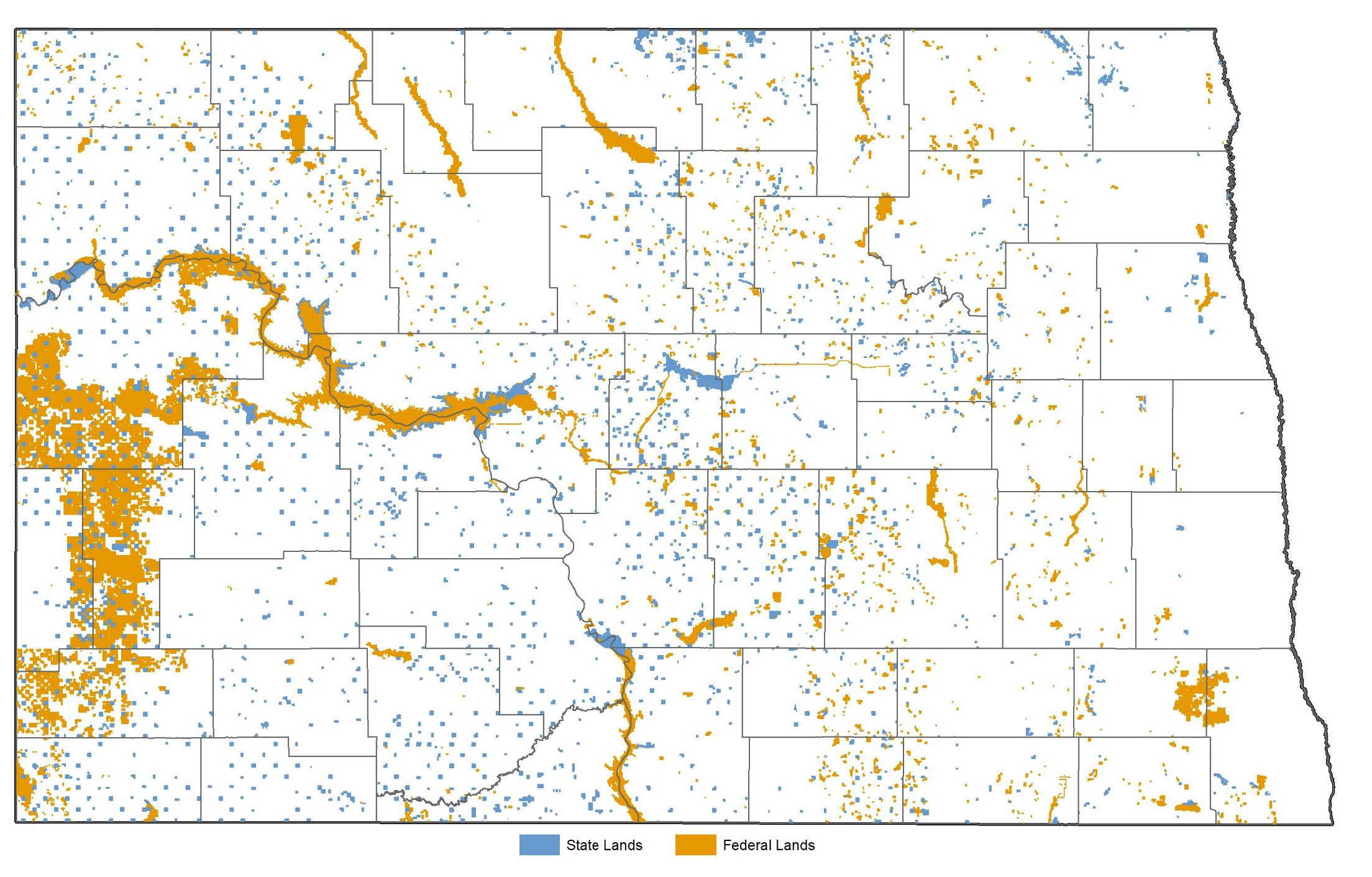
Figure 17. State and federal lands held in fee title.